MyTopo
Hachita Peak New Mexico US Topo Map
Couldn't load pickup availability
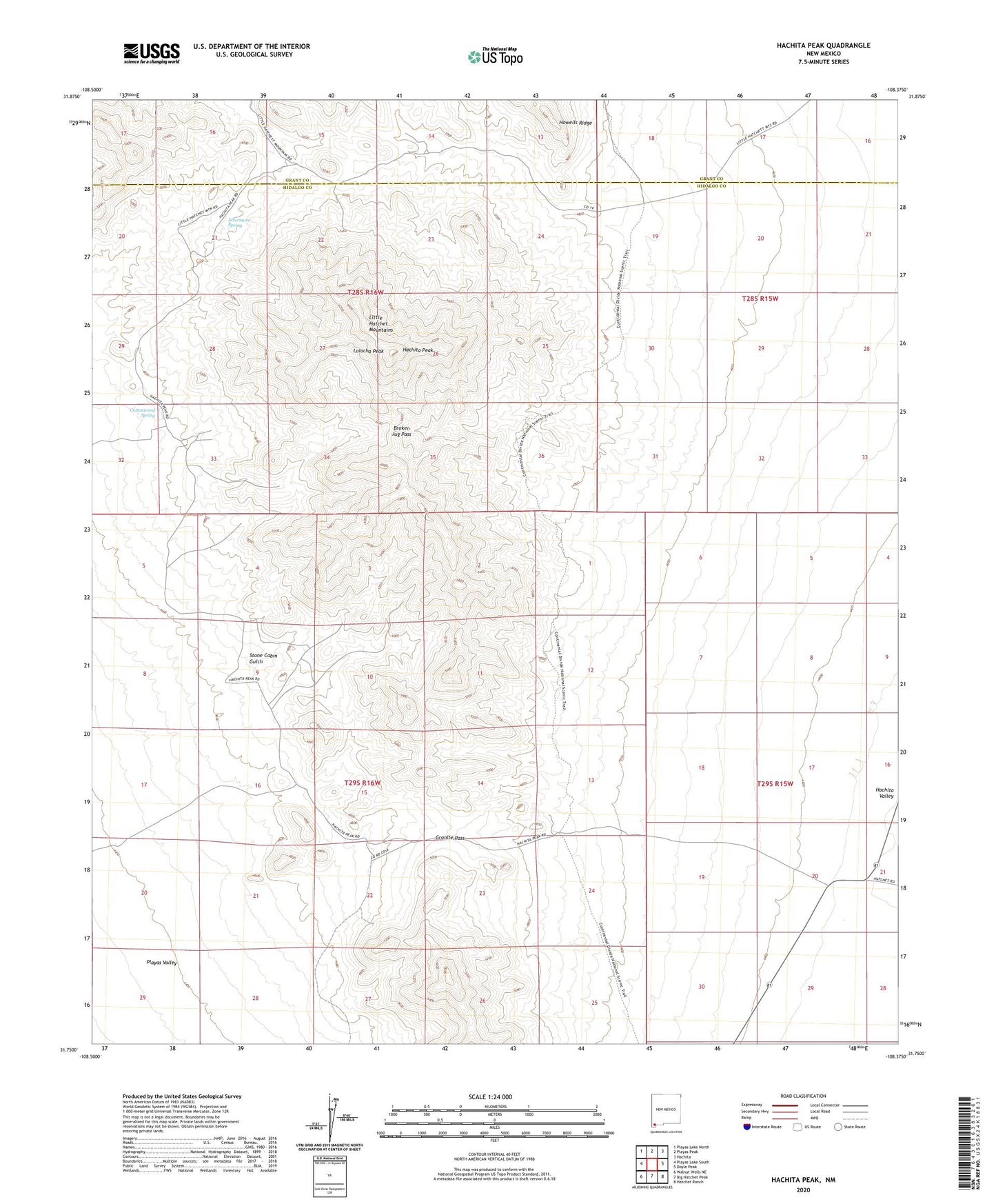
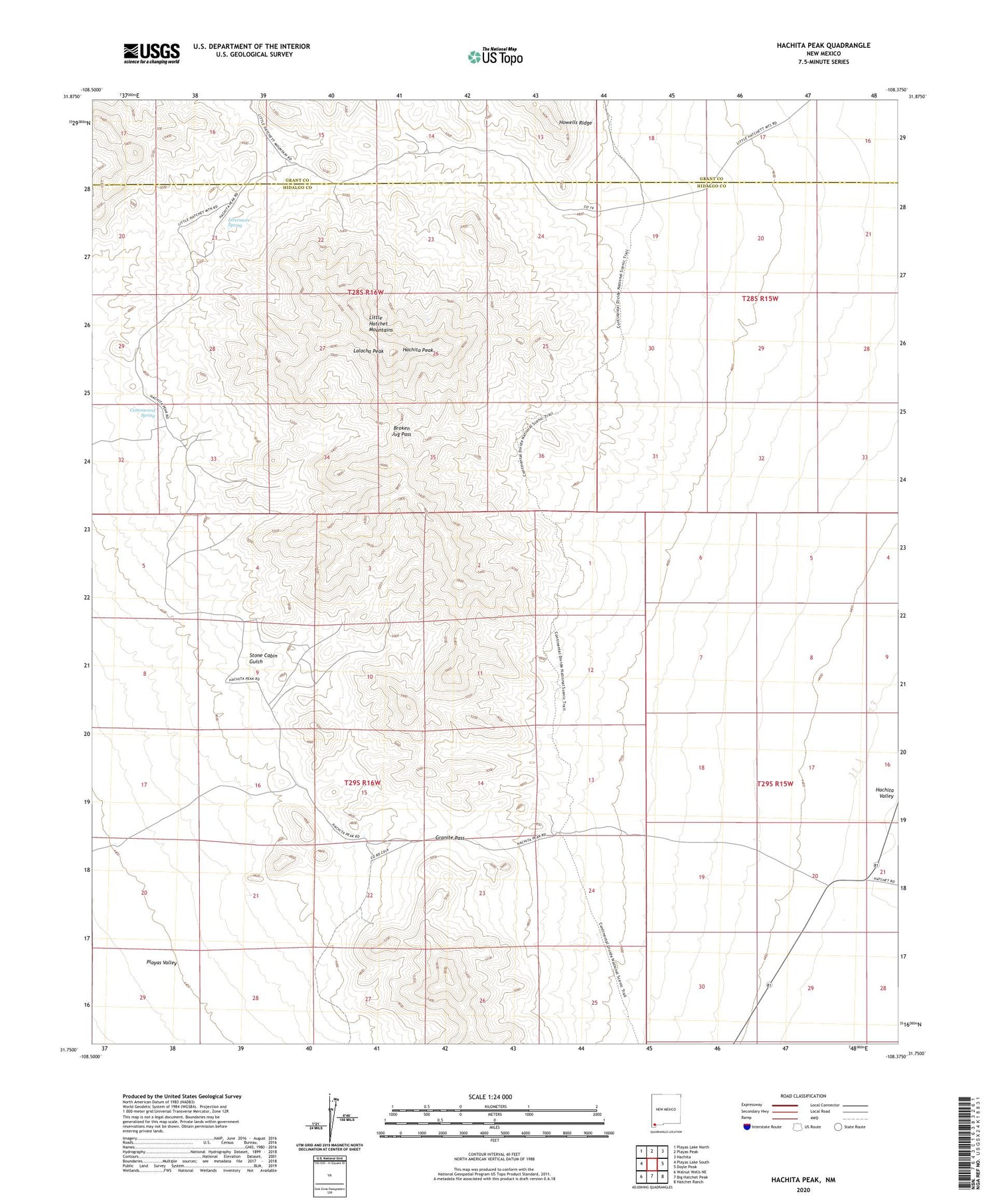
2023 topographic map quadrangle Hachita Peak in the state of New Mexico. Scale: 1:24000. Based on the newly updated USGS 7.5' US Topo map series, this map is in the following counties: Hidalgo, Grant. The map contains contour data, water features, and other items you are used to seeing on USGS maps, but also has updated roads and other features. This is the next generation of topographic maps. Printed on high-quality waterproof paper with UV fade-resistant inks.
Quads adjacent to this one:
West: Playas Lake South
Northwest: Playas Lake North
North: Playas Peak
Northeast: Hachita
East: Doyle Peak
Southeast: Hatchet Ranch
South: Big Hatchet Peak
Southwest: Walnut Wells NE
This map covers the same area as the classic USGS quad with code o31108g4.
Contains the following named places: Broken Jug Pass, C Ranch Water Well, Clemmie, Copper Dick Mine, Corbett Ranch, Cottonwood Spring, Creeper Tunnels, Faith, Faria Workings, George Winkler Ranch, Gold Hill Mine, Gold Hill Water Well, Golden Eagle Mine, Granite Pass, Green Mine, Hachita Peak, Hall Ranch, Handcar Vein, Howells Wells, Jowell Workings, King Solomon, Kinickerbocker, Lalacha Peak, Little Hatchet Mine, Little Hatchet Mountains, Livermore Spring, Ridgewood, Silver Trail Tunnel, Stone Cabin Gulch, Sylvanite, Sylvanite Mine, Sylvanite Post Office, Twelvemile Wells