MyTopo
Hendricks Peak New Mexico US Topo Map
Couldn't load pickup availability
Also explore the Hendricks Peak Forest Service Topo of this same quad for updated USFS data
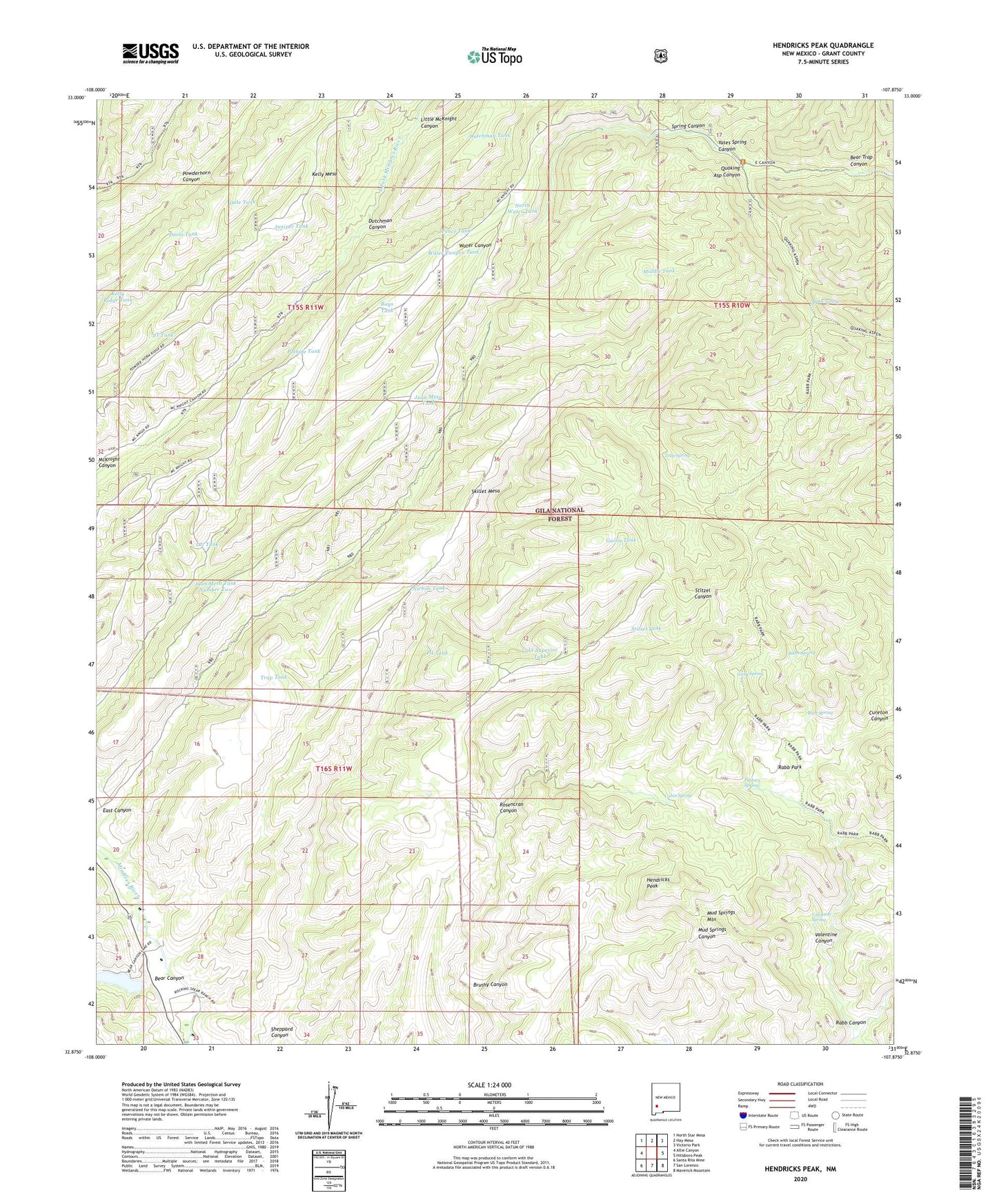
2023 topographic map quadrangle Hendricks Peak in the state of New Mexico. Scale: 1:24000. Based on the newly updated USGS 7.5' US Topo map series, this map is in the following counties: Grant. The map contains contour data, water features, and other items you are used to seeing on USGS maps, but also has updated roads and other features. This is the next generation of topographic maps. Printed on high-quality waterproof paper with UV fade-resistant inks.
Quads adjacent to this one:
West: Allie Canyon
Northwest: North Star Mesa
North: Hay Mesa
Northeast: Victorio Park
East: Hillsboro Peak
Southeast: Maverick Mountain
South: San Lorenzo
Southwest: Santa Rita Mine
This map covers the same area as the classic USGS quad with code o32107h8.
Contains the following named places: Aspen Spring, Bear Canyon, Bear Canyon Reservoir, Bear Canyon Reservoir Dam, Bear Trap Canyon, Brushy Canyon, Cabin Spring, City of Rocks, Cureton Canyon, Dale Tank, Davis Tank, Dutchman Canyon, Dutchman Tank, East Tank, Gatlin Tank, Girty Spring, Hendricks Peak, Horse Tank, JT Tank, Juan Mesa Tank, Juan Mesa Tank Number Two, Juniper Tank, Kelly Mesa Tank, Kelly Ridge Tank, Lake Superior Tank, Little McKnight Canyon, Lower Well, McKnight Well, Middle Tank, Mimbres Division, Mud Springs Mountain, Nicholi Tank, North Water Tank, Ott Tank, Pale Tank, Pasture Spring, Pence Tank, Pit Tank, Pothole Tank, Quaking Asp Canyon, Rabb Canyon, Rabb Park, Rabb Spring, Race Spring, Rays Tank, Ridge Tank Number Two, Rosencran Canyon, Rosencrans Tank, Skillet Mesa, Spring Canyon, Stitzel Tank, Trail Canyon Tank, Trap Spring, Trap Tank, Turkey Dam, Upper Well, Valentine Canyon, Valentine Spring, Water Canyon Tank, Yates Spring Canyon