MyTopo
Maverick Mountain New Mexico US Topo Map
Couldn't load pickup availability
Also explore the Maverick Mountain Forest Service Topo of this same quad for updated USFS data
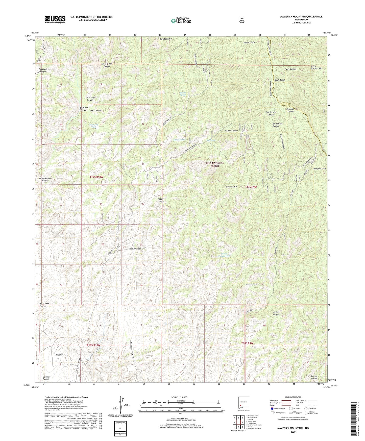
2023 topographic map quadrangle Maverick Mountain in the state of New Mexico. Scale: 1:24000. Based on the newly updated USGS 7.5' US Topo map series, this map is in the following counties: Grant, Sierra. The map contains contour data, water features, and other items you are used to seeing on USGS maps, but also has updated roads and other features. This is the next generation of topographic maps. Printed on high-quality waterproof paper with UV fade-resistant inks.
Quads adjacent to this one:
West: San Lorenzo
Northwest: Hendricks Peak
North: Hillsboro Peak
Northeast: Kingston
East: P A Mountain
Southeast: Whiterock Mountain
South: Dwyer
Southwest: Whitehorse Mountain
This map covers the same area as the classic USGS quad with code o32107g7.
Contains the following named places: Ackin Tank, Bull Trap Canyon, Columbia Mine, Corral CanyonTank, Dry Tank, Fogarty Canyon, Getaway Tank, Gold Pan Canyon, Grandview Mine, Haystack Mountain, Hot Springs Well, Juniper Water Well, LC Dam, Little Gallinas Canyon, Maverick Mountain, Noonday Peak, Patsy Mine, Rock Tank, Royal John Mine, Seven Brothers Mountain, Silver Creek, Squirrel Spring, Thompson Cone, Top Water Tank, Trail Canyon, Twin Calf Tank, Upton Cabin Well, Upton Tank, Watson Well, Wilson Canyon