MyTopo
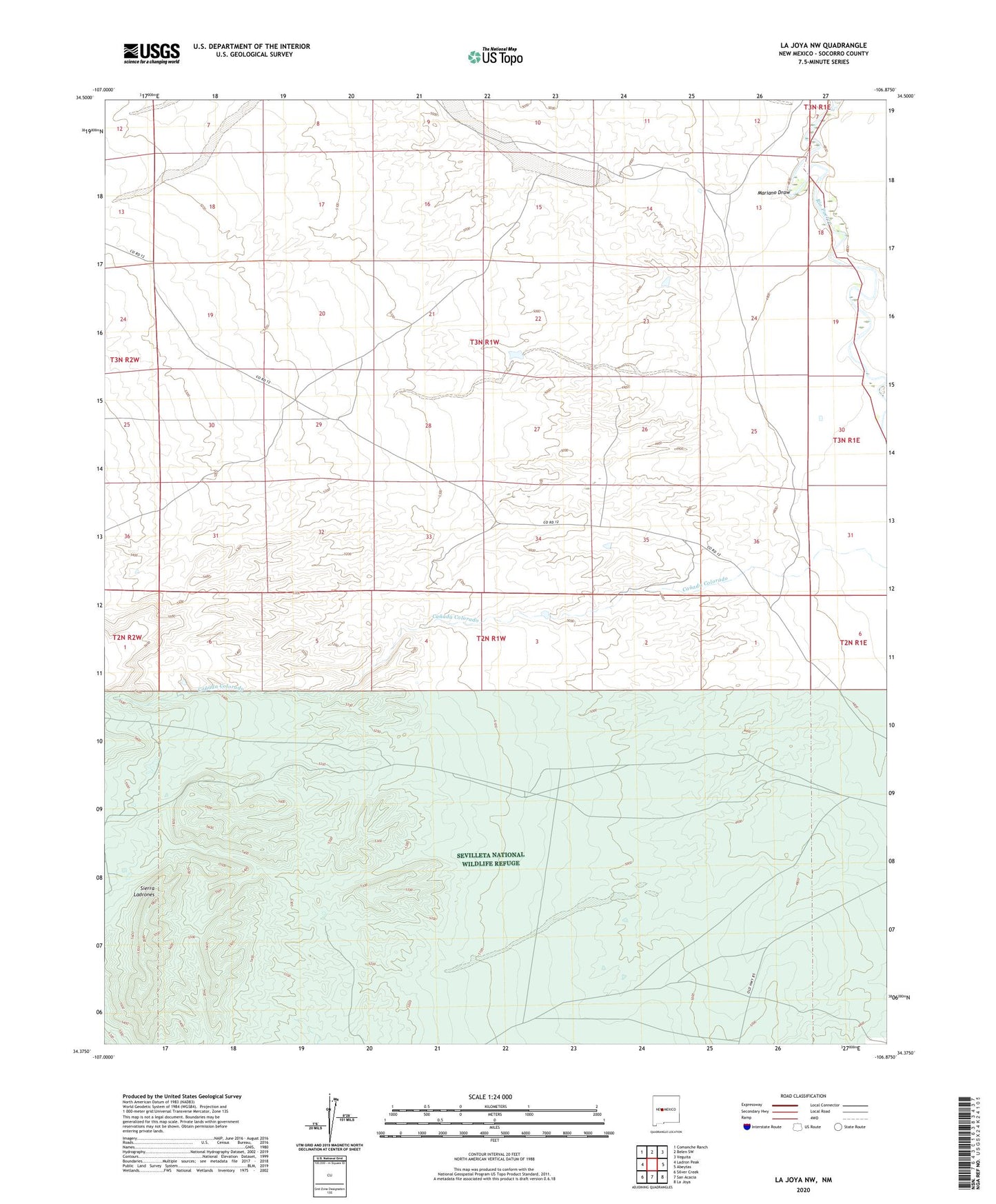
La Joya NW New Mexico US Topo Map
Couldn't load pickup availability
2023 topographic map quadrangle La Joya NW in the state of New Mexico. Scale: 1:24000. Based on the newly updated USGS 7.5' US Topo map series, this map is in the following counties: Socorro. The map contains contour data, water features, and other items you are used to seeing on USGS maps, but also has updated roads and other features. This is the next generation of topographic maps. Printed on high-quality waterproof paper with UV fade-resistant inks.
Quads adjacent to this one:
West: Ladron Peak
Northwest: Comanche Ranch
North: Belen SW
Northeast: Veguita
East: Abeytas
Southeast: La Joya
South: San Acacia
Southwest: Silver Creek
This map covers the same area as the classic USGS quad with code o34106d8.
Contains the following named places: Blue Detention Dam, Connie Detention Dam, Dry Well, Flanders Number 1 Detention Dam, Mariano Draw, PJ Number 6 Detention Dam, Sierra Ladrones