MyTopo
Malone Draw New Mexico US Topo Map
Couldn't load pickup availability
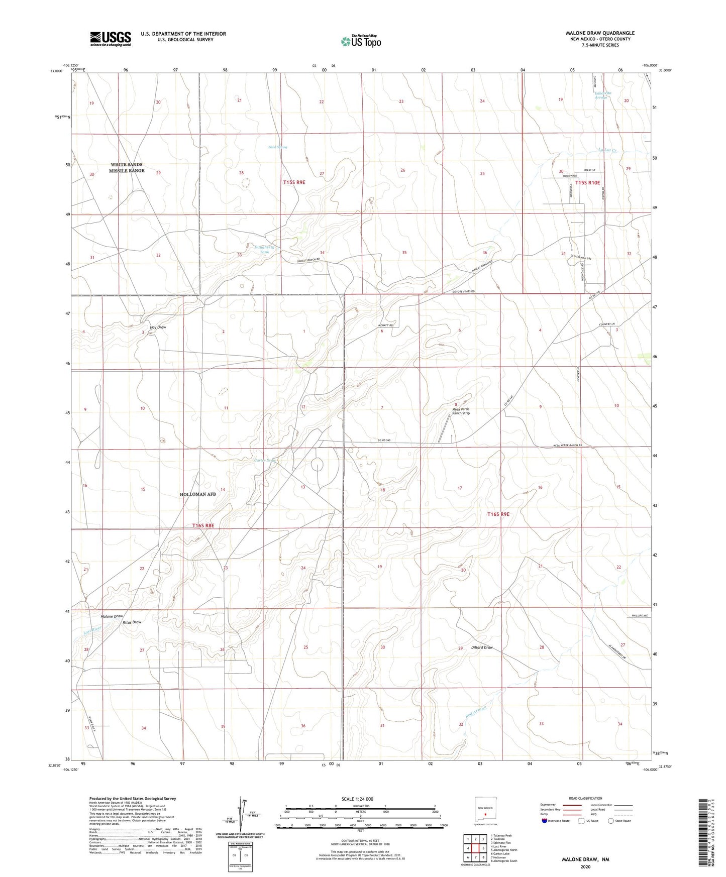
2023 topographic map quadrangle Malone Draw in the state of New Mexico. Scale: 1:24000. Based on the newly updated USGS 7.5' US Topo map series, this map is in the following counties: Otero. The map contains contour data, water features, and other items you are used to seeing on USGS maps, but also has updated roads and other features. This is the next generation of topographic maps. Printed on high-quality waterproof paper with UV fade-resistant inks.
Quads adjacent to this one:
West: Lost River
Northwest: Tularosa Peak
North: Tularosa
Northeast: Sabinata Flat
East: Alamogordo North
Southeast: Alamogordo South
South: Holloman
Southwest: Garton Lake
This map covers the same area as the classic USGS quad with code o32106h1.
Contains the following named places: Carter Draw, Carter Well, Daugherty Tank, Edgington Well, Frazier Well, La Luz Creek, Lilly Well, Malone Draw, McNatt Ranch, McNatt Well, Mesa Verde Ranch Strip, Pruess Well, Ritas Draw, Robinson Well, Sand Spring, Sansen Well