MyTopo
Mesita De Guadalupe New Mexico US Topo Map
Couldn't load pickup availability
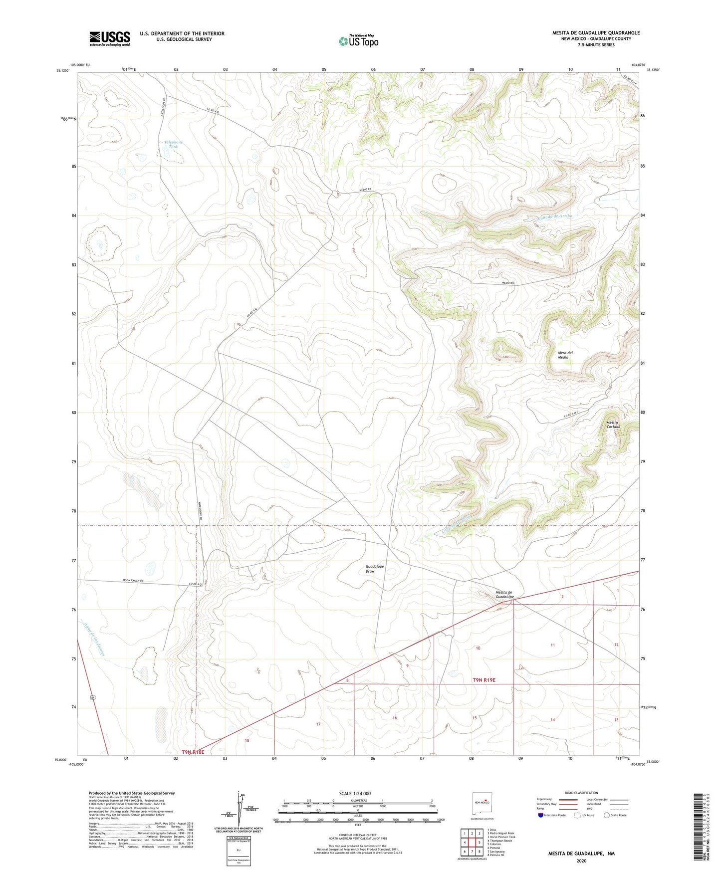
2023 topographic map quadrangle Mesita De Guadalupe in the state of New Mexico. Scale: 1:24000. Based on the newly updated USGS 7.5' US Topo map series, this map is in the following counties: Guadalupe. The map contains contour data, water features, and other items you are used to seeing on USGS maps, but also has updated roads and other features. This is the next generation of topographic maps. Printed on high-quality waterproof paper with UV fade-resistant inks.
Quads adjacent to this one:
West: Thompson Ranch
Northwest: Dilia
North: Pedro Miguel Peak
Northeast: Horse Pasture Tank
East: Colonias
Southeast: Pastura NE
South: San Ignacio
Southwest: Pintada
This map covers the same area as the classic USGS quad with code o35104a8.
Contains the following named places: Agua de los Juanes, Frog Tank, Mesa del Medio, Mesita Cortada, Mesita de Guadalupe, Moon Ranch, Telephone Tank