MyTopo
Ojo Hedionda New Mexico US Topo Map
Couldn't load pickup availability
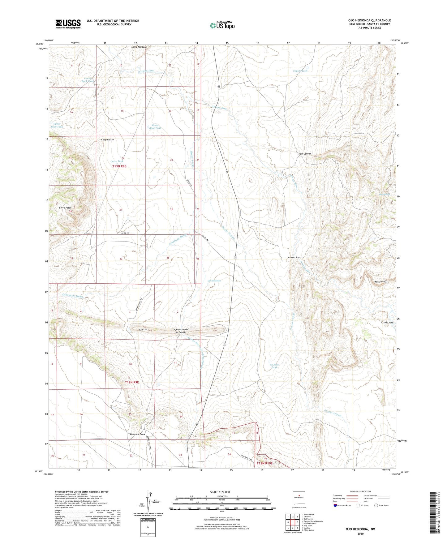
2020 topographic map quadrangle Ojo Hedionda in the state of New Mexico. Scale: 1:24000. Based on the newly updated USGS 7.5' US Topo map series, this map is in the following counties: Santa Fe. The map contains contour data, water features, and other items you are used to seeing on USGS maps, but also has updated roads and other features. This is the next generation of topographic maps. Printed on high-quality waterproof paper with UV fade-resistant inks.
Quads adjacent to this one:
West: Captain Davis Mountain
Northwest: Picture Rock
North: Galisteo
Northeast: Bull Canyon
East: Wildhorse Mesa
Southeast: White Lakes
South: Stanley
Southwest: King Draw
Contains the following named places: 10084 Water Well, Anaya 2 Water Well, Anaya Ranch, Arroyo Jara, Arroyo Puertacito de los Salado, Canada de Medio, Cerro Pelon, Cerro Tank, Chapatalito, Coyote Tank, Coyote Well, Creston, Gaviso Arroyo, Horse Shoe Tank, Hub Canyon, Hub Spring, Hub Well, La Jaca Well Number 1, La Jara HB water Well, La Jara Hogback Well, La Jara Tank, La Jara Well, La Jara Well Number 2, La Jara Well Number 3, Little Jara Windmill, Lower Rock Tank, Mckee A Water Well, Ojo Hedionda, Oxnard Well, Pueblo Blanco Ruins, Pueblo Chey Ruins, Puertacito de los Salado, Redondo Valle, RG-31969 Water Well, Stubby Well, Upper Rock Tank, Virginia Pina Well, West Largoeta Well, White Bluffs