MyTopo
San Juan Mesa East New Mexico US Topo Map
Couldn't load pickup availability
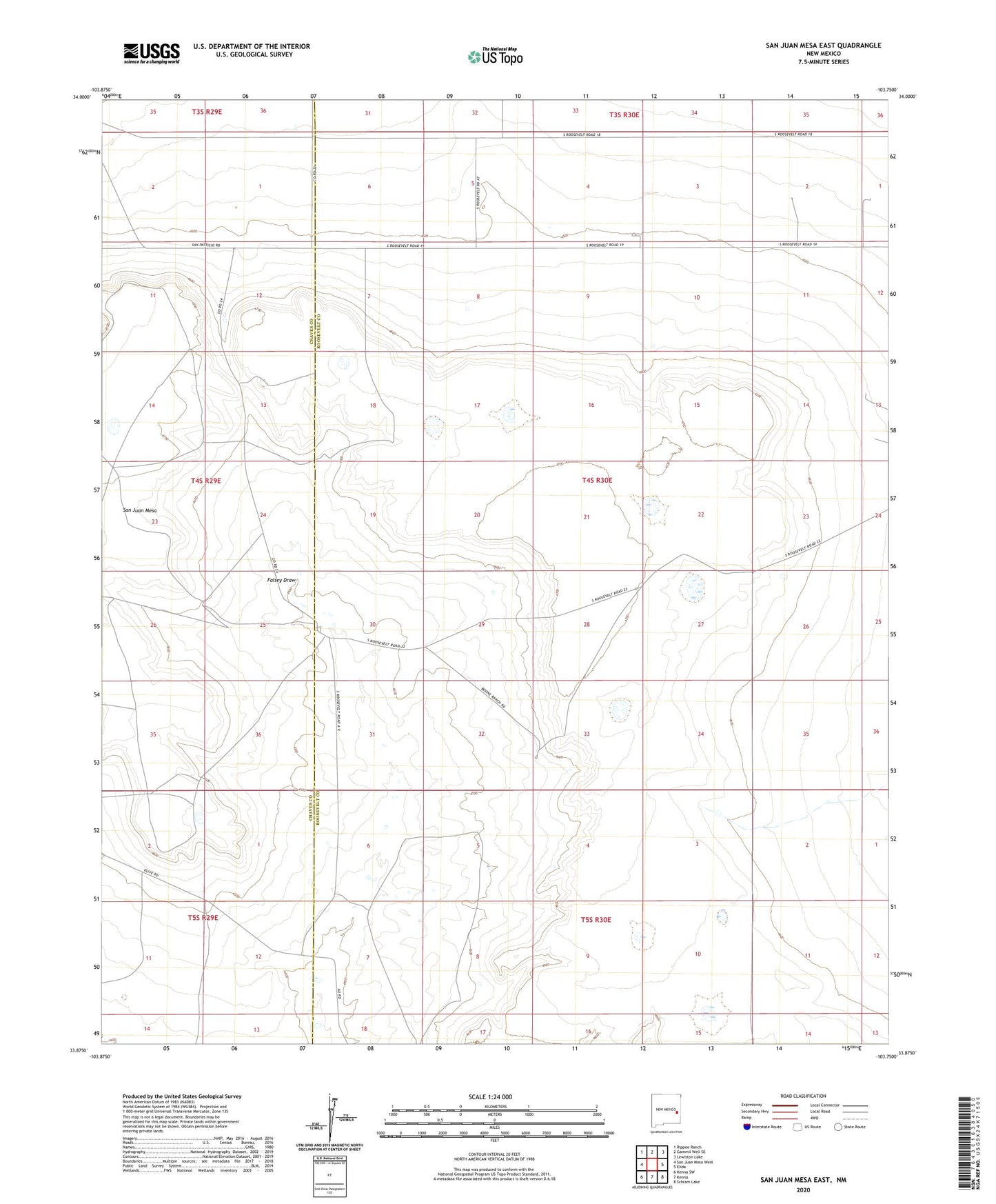
2023 topographic map quadrangle San Juan Mesa East in the state of New Mexico. Scale: 1:24000. Based on the newly updated USGS 7.5' US Topo map series, this map is in the following counties: Roosevelt, Chaves. The map contains contour data, water features, and other items you are used to seeing on USGS maps, but also has updated roads and other features. This is the next generation of topographic maps. Printed on high-quality waterproof paper with UV fade-resistant inks.
Quads adjacent to this one:
West: San Juan Mesa West
Northwest: Rippee Ranch
North: Gammil Well SE
Northeast: Lewiston Lake
East: Elida
Southeast: Schram Lake
South: Kenna
Southwest: Kenna SW
This map covers the same area as the classic USGS quad with code o33103h7.
Contains the following named places: 06050 Water Well, 06052 Water Well, 06053 Water Well, 06054 Water Well, 06091 Water Well, 06092 Water Well