MyTopo
Tecolote New Mexico US Topo Map
Couldn't load pickup availability
Also explore the Tecolote Forest Service Topo of this same quad for updated USFS data
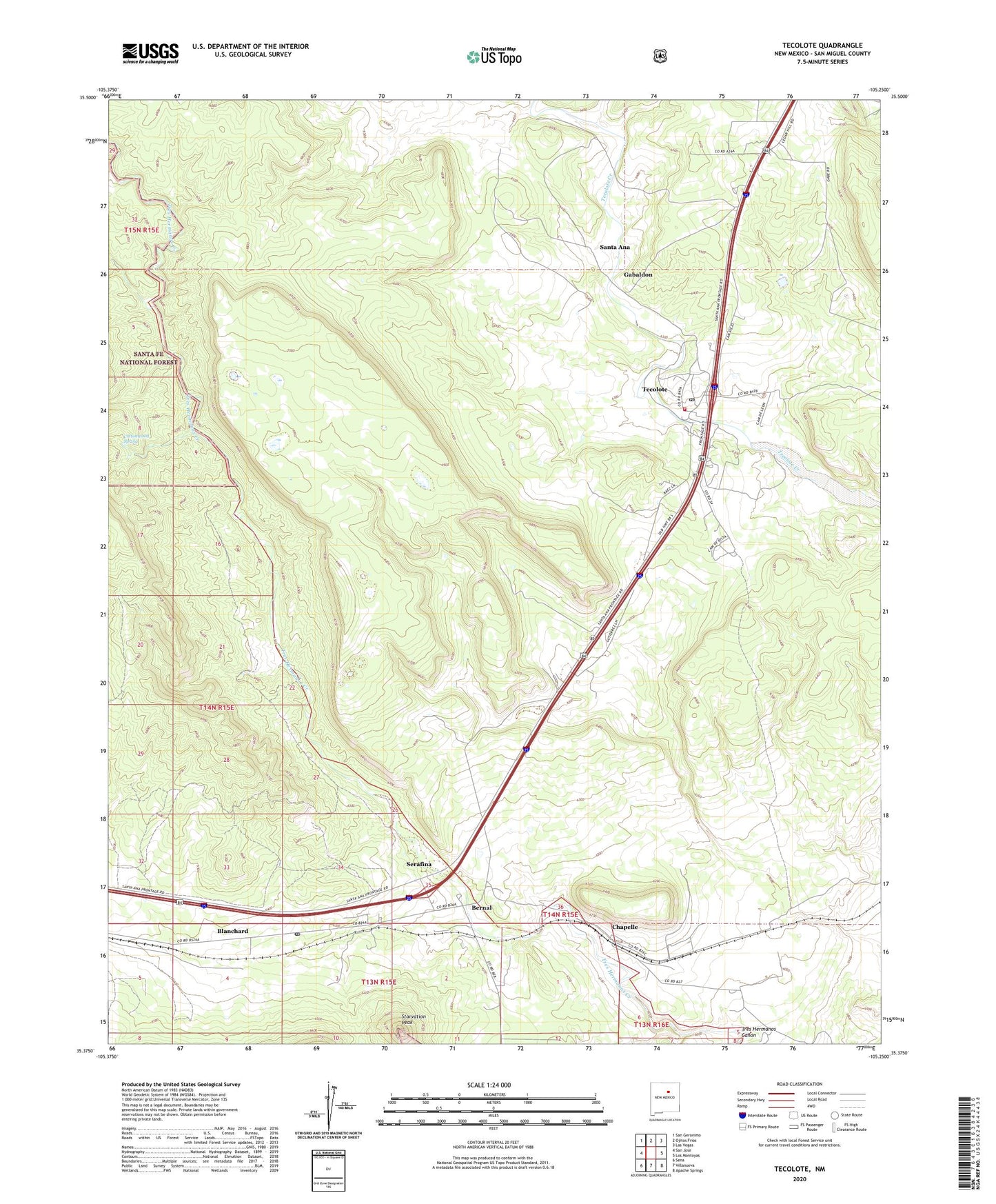
2023 topographic map quadrangle Tecolote in the state of New Mexico. Scale: 1:24000. Based on the newly updated USGS 7.5' US Topo map series, this map is in the following counties: San Miguel. The map contains contour data, water features, and other items you are used to seeing on USGS maps, but also has updated roads and other features. This is the next generation of topographic maps. Printed on high-quality waterproof paper with UV fade-resistant inks.
Quads adjacent to this one:
West: San Jose
Northwest: San Geronimo
North: Ojitos Frios
Northeast: Las Vegas
East: Los Montoyas
Southeast: Apache Springs
South: Villanueva
Southwest: Sena
This map covers the same area as the classic USGS quad with code o35105d3.
Contains the following named places: Bernal, Bernal Lone Butte SE of Station Thompson Airway Beacon 32, Bernal Post Office, Blanchard, Canon Pino Real, Cedar Hill, Chapelle, Chapelle Post Office, Cottonwood Spring, Gabaldon, Gabaldon Post Office, San Miguel County Fire District Tecolote Fire Department, Santa Ana, Serafina, Serafina Post Office, Starvation Peak, Tecolote, Tecolote Census Designated Place, Tecolote Grant, Tecolote Post Office