MyTopo
Togeye Lake New Mexico US Topo Map
Couldn't load pickup availability
Also explore the Togeye Lake Forest Service Topo of this same quad for updated USFS data
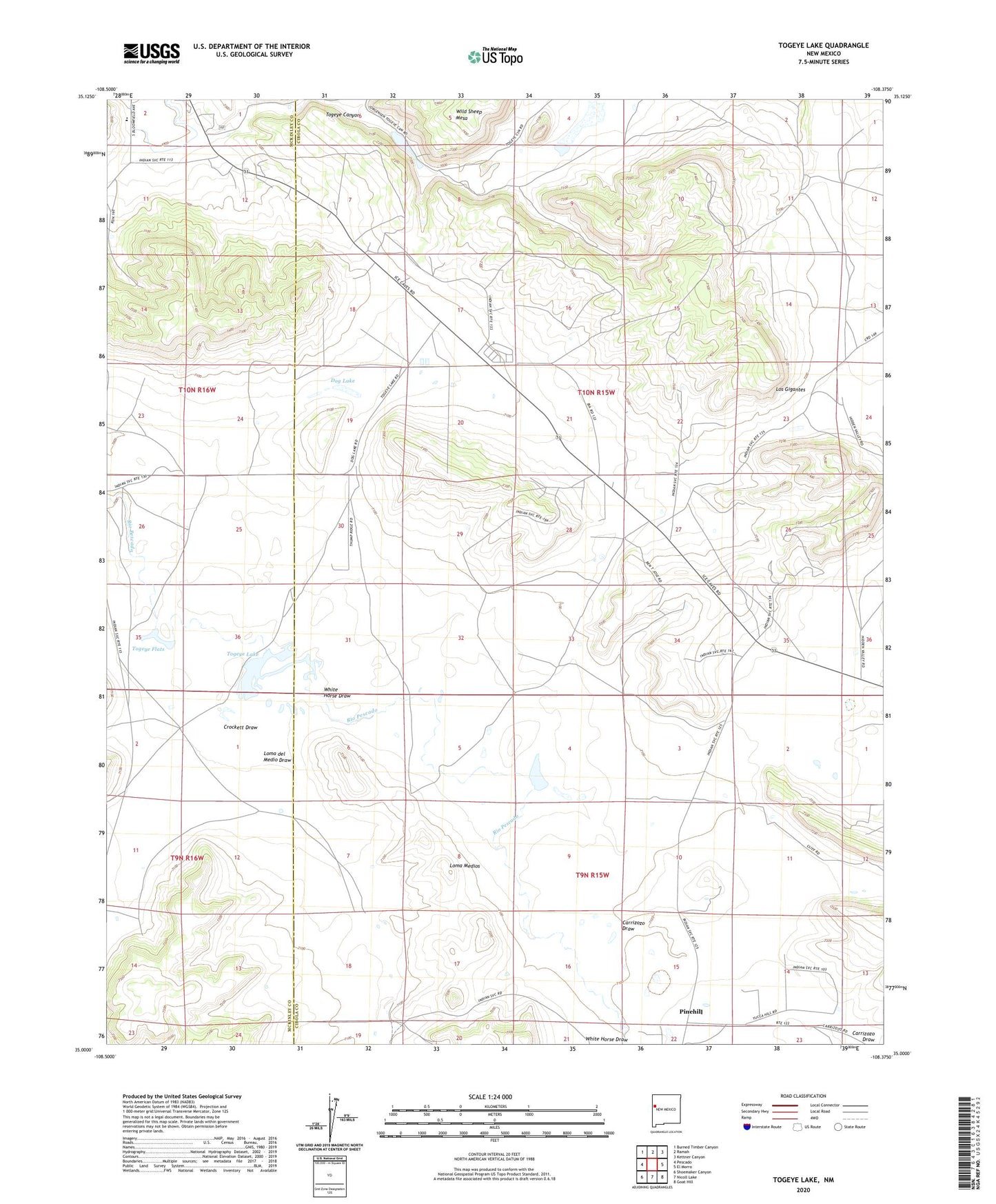
2023 topographic map quadrangle Togeye Lake in the state of New Mexico. Scale: 1:24000. Based on the newly updated USGS 7.5' US Topo map series, this map is in the following counties: Cibola, McKinley. The map contains contour data, water features, and other items you are used to seeing on USGS maps, but also has updated roads and other features. This is the next generation of topographic maps. Printed on high-quality waterproof paper with UV fade-resistant inks.
Quads adjacent to this one:
West: Pescado
Northwest: Burned Timber Canyon
North: Ramah
Northeast: Kettner Canyon
East: El Morro
Southeast: Goat Hill
South: Nicoll Lake
Southwest: Shoemaker Canyon
This map covers the same area as the classic USGS quad with code o35108a4.
Contains the following named places: BIA-MOO-87-21 Water Well, Carrizozo Draw, Crockett Draw, Dog Lake, Loma del Medio Draw, Loma Medios, Los Gigantes, Morman Church, Mountain View Census Designated Place, Ramah, Togeye Canyon, Togeye Flats, Togeye Lake, White Horse Draw