MyTopo
Todilto Park New Mexico US Topo Map
Couldn't load pickup availability
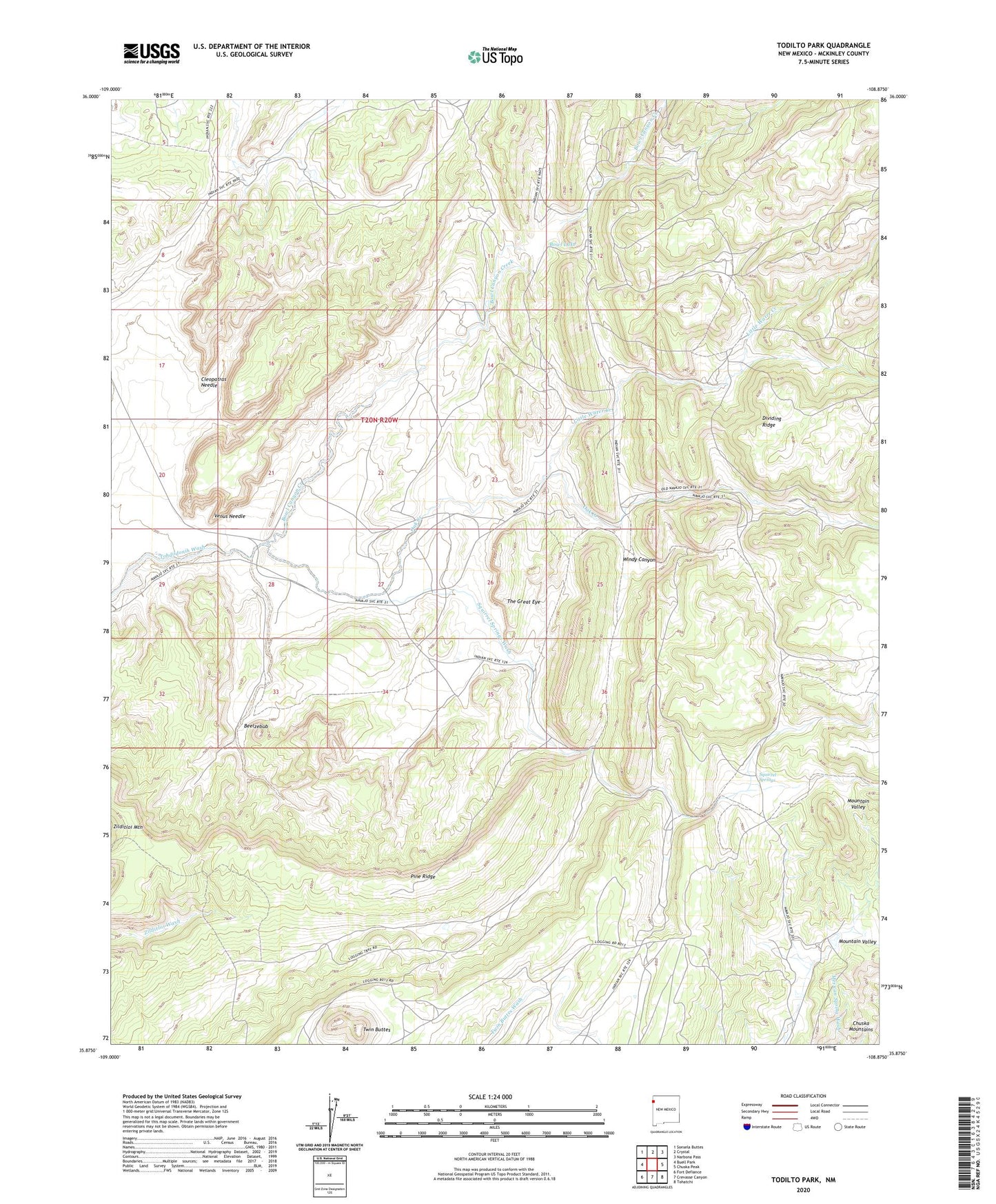
2023 topographic map quadrangle Todilto Park in the state of New Mexico. Scale: 1:24000. Based on the newly updated USGS 7.5' US Topo map series, this map is in the following counties: McKinley. The map contains contour data, water features, and other items you are used to seeing on USGS maps, but also has updated roads and other features. This is the next generation of topographic maps. Printed on high-quality waterproof paper with UV fade-resistant inks.
Quads adjacent to this one:
West: Buell Park
Northwest: Sonsela Buttes
North: Crystal
Northeast: Narbona Pass
East: Chuska Peak
Southeast: Tohatchi
South: Crevasse Canyon
Southwest: Fort Defiance
This map covers the same area as the classic USGS quad with code o35108h8.
Contains the following named places: Asaayi Dam, Beelzebub, Bowl Canyon Creek, Bowl Lake, Bowl Lake Campground, Cleopatras Needle, Dividing Ridge, Little Water Creek, Oak Creek, Pine Ridge, Squirrel Springs, Squirrel Springs Wash, The Great Eye, Twin Buttes, Venus Needle, White Rock, Windy Canyon, ZIP Code: 87328