MyTopo
Vigas Canyon New Mexico US Topo Map
Couldn't load pickup availability
Also explore the Vigas Canyon Forest Service Topo of this same quad for updated USFS data
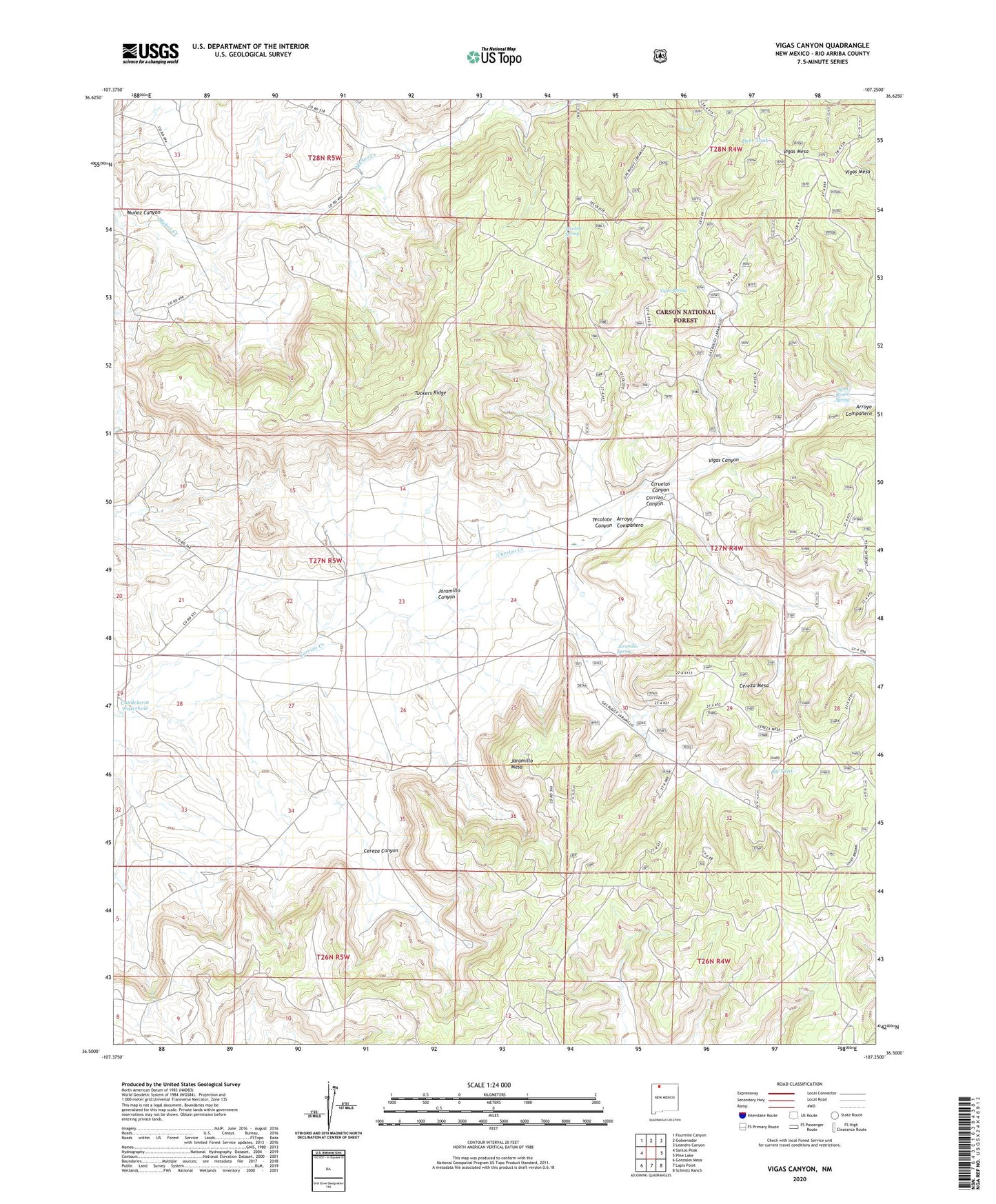
2023 topographic map quadrangle Vigas Canyon in the state of New Mexico. Scale: 1:24000. Based on the newly updated USGS 7.5' US Topo map series, this map is in the following counties: Rio Arriba. The map contains contour data, water features, and other items you are used to seeing on USGS maps, but also has updated roads and other features. This is the next generation of topographic maps. Printed on high-quality waterproof paper with UV fade-resistant inks.
Quads adjacent to this one:
West: Santos Peak
Northwest: Fourmile Canyon
North: Gobernador
Northeast: Leandro Canyon
East: Pine Lake
Southeast: Schmitz Ranch
South: Lapis Point
Southwest: Gonzales Mesa
This map covers the same area as the classic USGS quad with code o36107e3.
Contains the following named places: Agua Bonito Spring, Arroyo Campanero, Arroyo Companero, BS Tank, Candelaria Waterhole, Cereza Canyon, Cereza Mesa, Ciruelas Canyon, Deer Tank, Encino Detention Dam Number 85, Fir Spring, Honolulu Tank, Jaramillo Canyon, Jaramillo Mesa, Jaramillo Spring, Middle Canyon Tank, Owl Tank, Russel Tank, S J 27-5 1 Water Well, Tecolote Canyon, Tecolote Spring, Temple Tank, Tuckers Ridge, Vigas Canyon, Vigas Spring, Vigas Tank