MyTopo
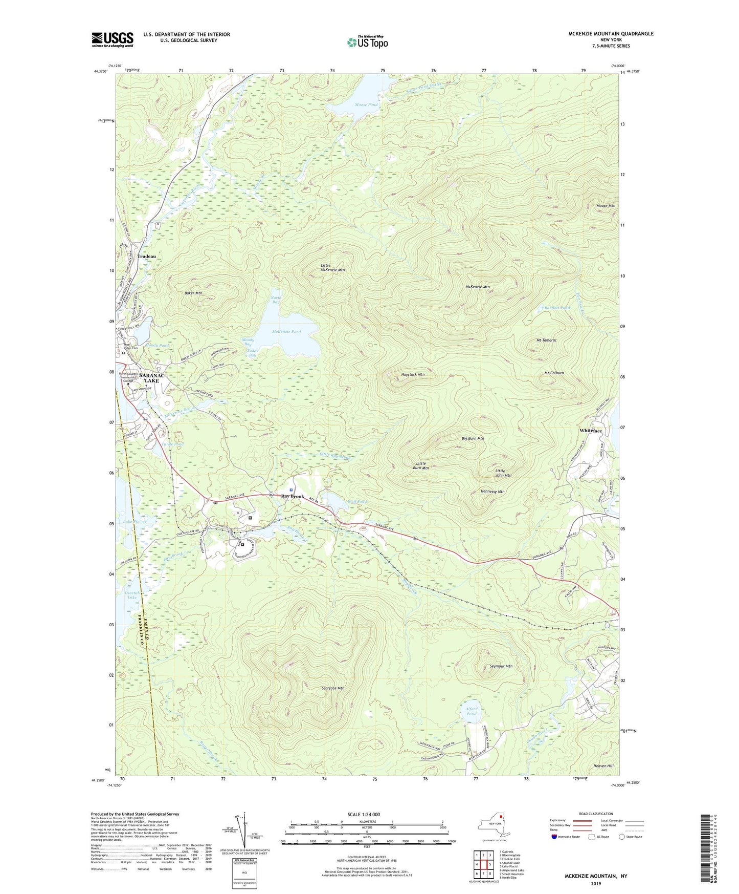
McKenzie Mountain New York US Topo Map
Couldn't load pickup availability
2023 topographic map quadrangle McKenzie Mountain in the state of New York. Scale: 1:24000. Based on the newly updated USGS 7.5' US Topo map series, this map is in the following counties: Essex, Franklin. The map contains contour data, water features, and other items you are used to seeing on USGS maps, but also has updated roads and other features. This is the next generation of topographic maps. Printed on high-quality waterproof paper with UV fade-resistant inks.
Quads adjacent to this one:
West: Saranac Lake
Northwest: Gabriels
North: Bloomingdale
Northeast: Franklin Falls
East: Lake Placid
Southeast: North Elba
South: Street Mountain
Southwest: Ampersand Lake
Contains the following named places: Adirondack Correctional Facility, Adirondack Educational Center, Alford Pond, Baker Mountain, Bartlett Pond, Big Burn Mountain, Clermont Hall, Federal Correctional Institution Ray Brook, General Hospital of Saranac Lake, Grass Pond Outlet, Haystack Mountain, Hennessy Mountain, High Peaks Church, Hodson Hall, Lake Flower, Little Burn Mountain, Little John Mountain, Little McKenzie Mountain, Little Ray Brook, McCormick Hall, McKenzie Brook, McKenzie Mountain, McKenzie Pond, McKenzie Pond Trail, Moody Bay, Moody Pond, Moose Creek, Moose Mountain, Moose Pond, Mount Colburn, Mount Tamarac, Mulholland Hall, North Bay, North Country Community College, Pine Ridge Cemetery, Ray Brook, Ray Brook Post Office, River Street Hall, River Street Public School, Robert Louis Stevenson Memorial Cottage, Roger Brook, Saranac Lake Golf Club, Saranac Lake Quarry, Saranac Lake Village Water Pollution Control Plant, Scarface Mountain, Seymour Mountain, Sparks Athletic Complex, Tadds Bay, Troop B Headquarters Heliport, Trudeau, Turtle Pond, Whiteface, Whiteface Golf Club, Will Rogers Memorial Hospital, WIRD-AM (Lake Placid), WLPW-FM (Lake Placid), WNBZ-AM (Saranac Lake), Wolf Pond, ZIP Code: 12977


