MyTopo
Franklin Falls New York US Topo Map
Couldn't load pickup availability
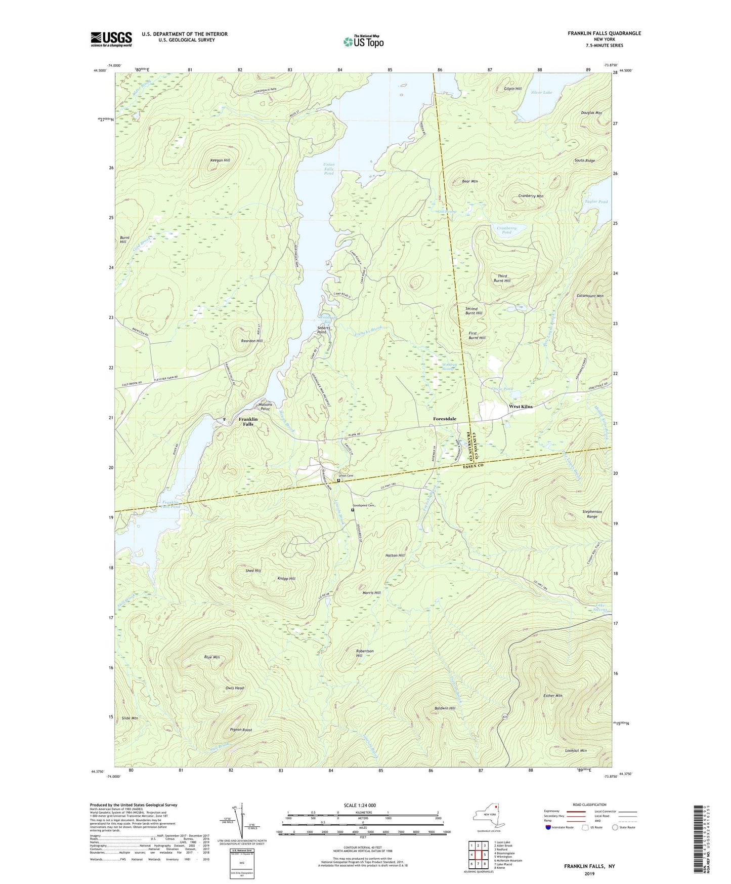
2023 topographic map quadrangle Franklin Falls in the state of New York. Scale: 1:24000. Based on the newly updated USGS 7.5' US Topo map series, this map is in the following counties: Franklin, Essex, Clinton. The map contains contour data, water features, and other items you are used to seeing on USGS maps, but also has updated roads and other features. This is the next generation of topographic maps. Printed on high-quality waterproof paper with UV fade-resistant inks.
Quads adjacent to this one:
West: Bloomingdale
Northwest: Loon Lake
North: Alder Brook
Northeast: Redford
East: Wilmington
Southeast: Keene
South: Lake Placid
Southwest: McKenzie Mountain
Contains the following named places: Baldwin Hill, Bear Mountain, Blue Mountain, Cranberry Mountain, Cranberry Pond, Esther Mountain, First Burnt Hill, Forestdale, Franklin Falls, Franklin Falls Pond, Frenchs Brook, Gail Swamp, Gilpin Hill, Goodspeed Cemetery, Hatton Hill, Hough Brook, Keegan Hill, Knapp Hill, Lake Stevens, Lincoln Brook, Lookout Mountain, Morris Hill, Oncio Pond, Owls Head, Pete Lagus Brook, Pigeon Roost, Reardon Hill, Robertson Hill, Schwartz Trail, Seberts Point, Second Burnt Hill, Shed Hill, South Ridge, Still Brook, Third Burnt Hill, Union Cemetery, Union Falls Pond, Watsons Point, West Kilns, Woodruff Bay, Woodruff Swamp


