MyTopo
Naples New York US Topo Map
Couldn't load pickup availability
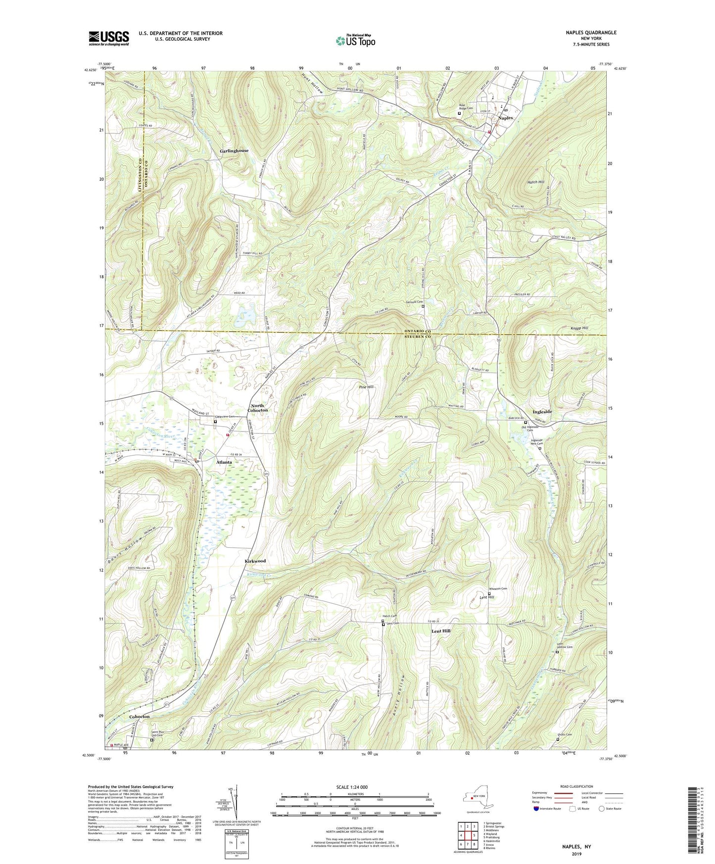
2023 topographic map quadrangle Naples in the state of New York. Scale: 1:24000. Based on the newly updated USGS 7.5' US Topo map series, this map is in the following counties: Steuben, Ontario, Livingston. The map contains contour data, water features, and other items you are used to seeing on USGS maps, but also has updated roads and other features. This is the next generation of topographic maps. Printed on high-quality waterproof paper with UV fade-resistant inks.
Quads adjacent to this one:
West: Wayland
Northwest: Springwater
North: Bristol Springs
Northeast: Middlesex
East: Prattsburg
Southeast: Rheims
South: Avoca
Southwest: Haskinville
This map covers the same area as the classic USGS quad with code o42077e4.
Contains the following named places: Atlanta, Atlanta Post Office, Clearview Cemetery, Cohocton Gravel Pit, Cohocton Post Office, Cohocton Volunteer Fire Department, E J Cottrell Memorial Library, Eelpot Creek, First Baptist Church, First Methodist Church, First Presbyterian Church, Garlinghouse, Gerould Cemetery, Grimes Creek, Hatch Cemetery, Hatch Hill, Hatch Hose Company, Ingleside, Ingleside New Cemetery, Kingdom Hall of Jehovahs Witnesses, Kirkwood, Kirkwood Creek, Knapp Hill, Lent Cemetery, Lent Hill, Lyon Hollow Cemetery, Maxfield Hose Company Station 1, Memorial Town Hall, Naples, Naples Bible Church, Naples Elementary School, Naples Gospel Tabernacle, Naples High School, Naples Hotel, Naples Library, Naples Post Office, Naples Union Agricultural Society Fair Grounds, Naples Village Hall, North Cohocton, Old Ingleside Cemetery, Pine Hill, Reservoir Creek, Reservoir Creek Golf Course, Rose Ridge Cemetery, Saint Januarius Roman Catholic Church, Saint Pius Church, Saint Pius Old Cemetery, School Number 12, School Number 13, School Number 2, School Number 4, School Number 6, Shults Cemetery, Tannery Creek, Town of Cohocton, Town of Naples, Trinity Federated Church, Village of Naples, West Hollow, Wheaton Cemetery, Widmers Wine Cellars, ZIP Code: 14808


