MyTopo
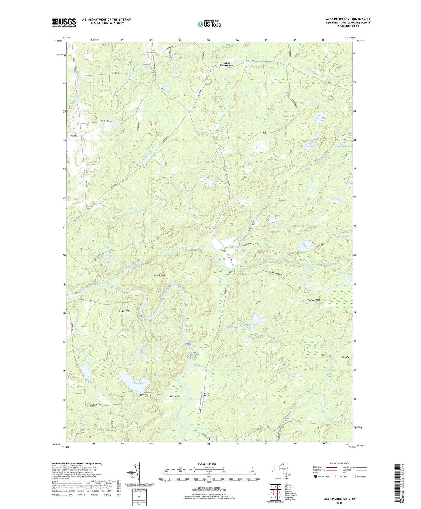
West Pierrepont New York US Topo Map
Couldn't load pickup availability
2023 topographic map quadrangle West Pierrepont in the state of New York. Scale: 1:24000. Based on the newly updated USGS 7.5' US Topo map series, this map is in the following counties: St. Lawrence. The map contains contour data, water features, and other items you are used to seeing on USGS maps, but also has updated roads and other features. This is the next generation of topographic maps. Printed on high-quality waterproof paper with UV fade-resistant inks.
Quads adjacent to this one:
West: Hermon
Northwest: Canton
North: Pierrepont
Northeast: Colton
East: Albert Marsh
Southeast: Tooley Pond
South: Degrasse
Southwest: South Edwards
This map covers the same area as the classic USGS quad with code o44075d1.
Contains the following named places: Alder Brook, Austins Corners, Backus Hill, Barbour Hill, Bear Creek, Big Swamp, Black Brook, Boyd Pond, Brouses Corners, Buck Brook, Buck Pond, Bullhead Pond, Burns Flat, Cedar Spring, Clare, Clear Lake, Cold Brook, Conkey Branch, Coopers Corners, Dean Brook, Deans Corners, Deer Lick Brook, Donnerville State Forest, Elm Flat, Endersbees Corners, Harper Falls, Horseshoe Pond, La Rock Creek, Lampsons Falls, Middle Branch Grass River, Moores Airport, Moores Corners, Mud Pond, North Branch Grass River, O'Brien Brook, Owens Corners, Palmer Hill, Pelkys Falls, Reynolds Corners, Saint Lawrence County, Shingle Pond, South Branch Grass River, Tamarack Branch, Taylor Creek State Forest, The Stillwater, Van House Corners, Van Rensselaer Creek, West Pierrepont


