MyTopo
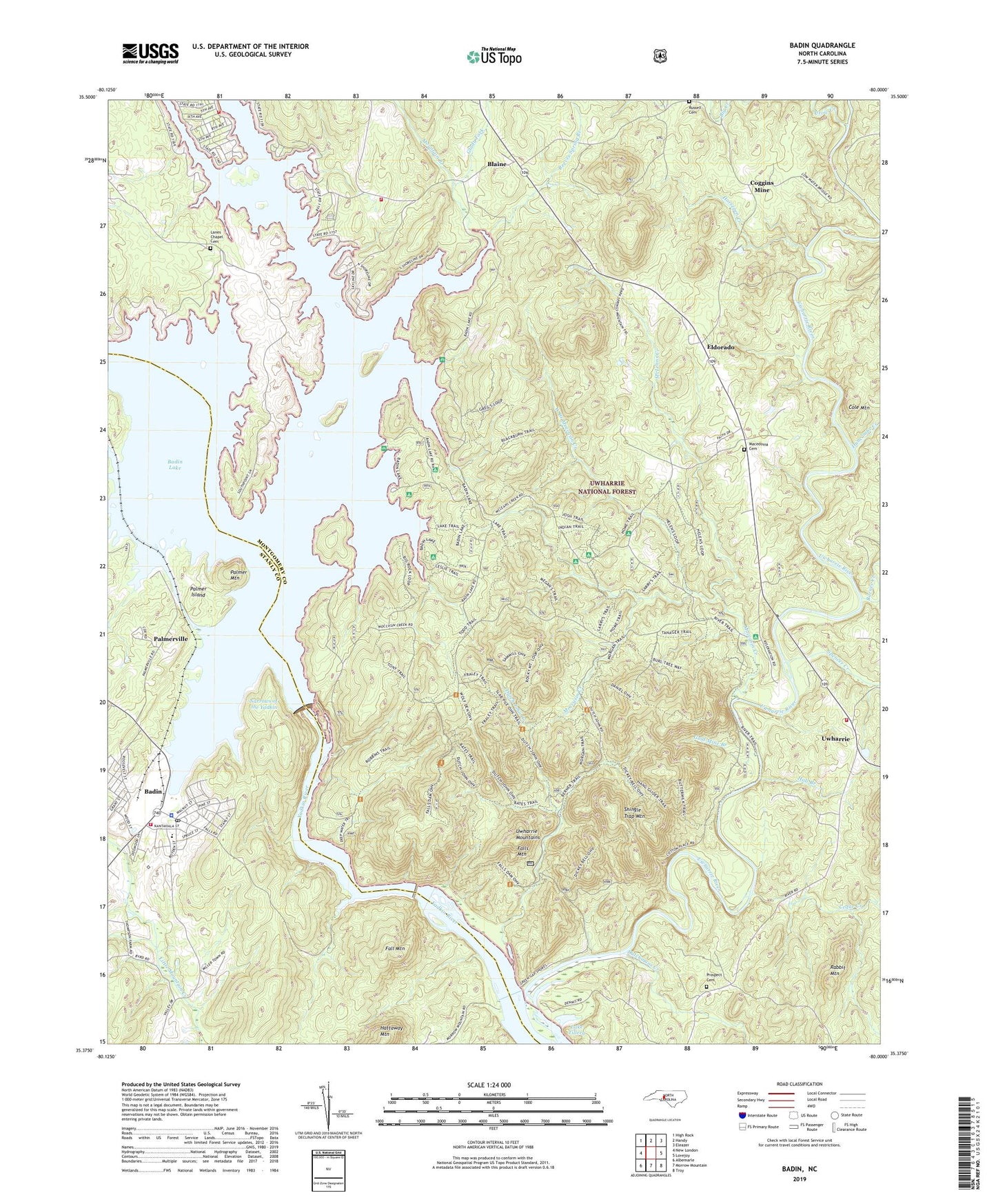
Badin North Carolina US Topo Map
Couldn't load pickup availability
Also explore the Badin Forest Service Topo of this same quad for updated USFS data
2022 topographic map quadrangle Badin in the state of North Carolina. Scale: 1:24000. Based on the newly updated USGS 7.5' US Topo map series, this map is in the following counties: Montgomery, Stanly. The map contains contour data, water features, and other items you are used to seeing on USGS maps, but also has updated roads and other features. This is the next generation of topographic maps. Printed on high-quality waterproof paper with UV fade-resistant inks.
Quads adjacent to this one:
West: New London
Northwest: High Rock
North: Handy
Northeast: Eleazer
East: Lovejoy
Southeast: Troy
South: Morrow Mountain
Southwest: Albemarle
This map covers the same area as the classic USGS quad with code o35080d1.
Contains the following named places: Alcoa Plant, Badin, Badin Dam, Badin Lake, Badin Lake Campground, Badin Lake Group Campground, Badin Lake Volunteer First Response and Rescue - Blaine, Badin Lake Volunteer First Response and Rescue - Pinehaven, Badin Police Department, Badin Post Office, Badin School, Badin Volunteer Fire Department, Badin Waterworks, Barnes Creek, Bethany Church, Blaine, Cedar Creek, Center Church, Coggins Mine, Cole Mountain, Cove Boat Ramp, Crow Creek, Daniel Mountain, Duncombe Creek, Dutch John Creek, Dutchmans Creek, Eldorado, Eldorado Baptist Church, Eldorado School, Fall Mountain, Falls Dam, Falls Mountain, Falls Reservoir, Glady Fork, Gold Mine Branch, Graveyard Island, Hall Branch, Hattaway Mountain, Horsepen Creek, Lanes Chapel Cemetery, Lanes Chapel Methodist Church, Macedonia Cemetery, Macedonia Methodist Church, McLeans Creek, Moccasin Creek, Morrow Mountain State Park, Mountain Branch, Narrous Dam, Narrows of the Yadkin, Palmer Island, Palmer Mountain, Palmerville, Peenington, Pine Haven, Prospect Baptist Church, Prospect Cemetery, Rabbit Mountain, Reeves Spring Branch, Reynolds Creek, Russell Cemetery, Shingle Trap Mountain, Spencer Creek, Stanly County Country Club, Town of Badin, Township of Eldorado, Uwharrie, Uwharrie Hunting Camp, Uwharrie Methodist Church, Uwharrie Mountains, Uwharrie River, Uwharrie School, Uwharrie Volunteer Fire Department, Uwharrie Wildlife Area, Watery Branch, West Branch Moccasin Creek, Yadkin Falls Dam, Yadkin River, ZIP Code: 28009


