MyTopo
Bolivia North Carolina US Topo Map
Couldn't load pickup availability
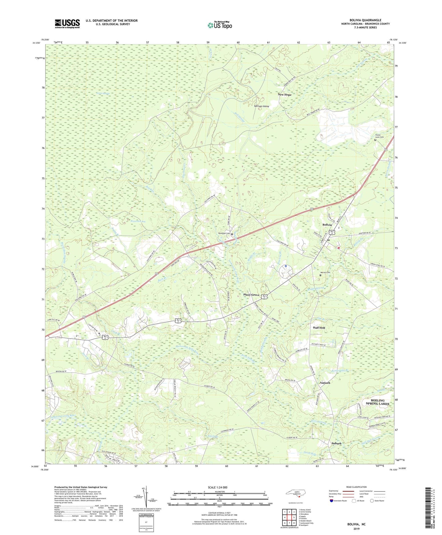
2019 topographic map quadrangle Bolivia in the state of North Carolina. Scale: 1:24000. Based on the newly updated USGS 7.5' US Topo map series, this map is in the following counties: Brunswick. The map contains contour data, water features, and other items you are used to seeing on USGS maps, but also has updated roads and other features. This is the next generation of topographic maps. Printed on high-quality waterproof paper with UV fade-resistant inks.
Quads adjacent to this one:
West: Supply
Northwest: Honey Island
North: Lewis Swamp
Northeast: Winnabow
East: Funston
Southeast: Southport
South: Lockwoods Folly
Southwest: Holden Beach
Contains the following named places: Antioch, Antioch Church, Beaverdam Bay, Boggy Branch, Bolivia, Bolivia Branch, Bolivia Lookout Tower, Bolivia Post Office, Bolivia Volunteer Fire Department, Brunswick Community College, Brunswick County, Brunswick County Criminal Justice, Brunswick County District Criminal, Brunswick County Sheriff's Office, Brunswick Emergency Service, Buck Branch, Cherry Tree Swamp, Clark Branch, Clements Curve, Faith Church, Fawnbrook Circle Mobile Home, Ford Branch, Forest Lawn Cemetery, Friendship Church, Gap Branch, Half Hell, Half Hell Swamp, Hog Branch, Holden Creek, Mercer Cemetery, Middle Branch, Middle Swamp, Mount Olive Church, New Hope, Nucitt Branch, Pinch Gut Creek, Pine Log Branch, Piney Grove, Ramshead Branch, Randolph Cemetery, Rattlesnake Branch, Red Run, River Swamp, Rutland Chapel, Saint Johns Church, Sarah Hole, Scotts Branch, Suburb, Sullivan Island, Town of Bolivia, ZIP Code: 28422