MyTopo
Honey Island North Carolina US Topo Map
Couldn't load pickup availability
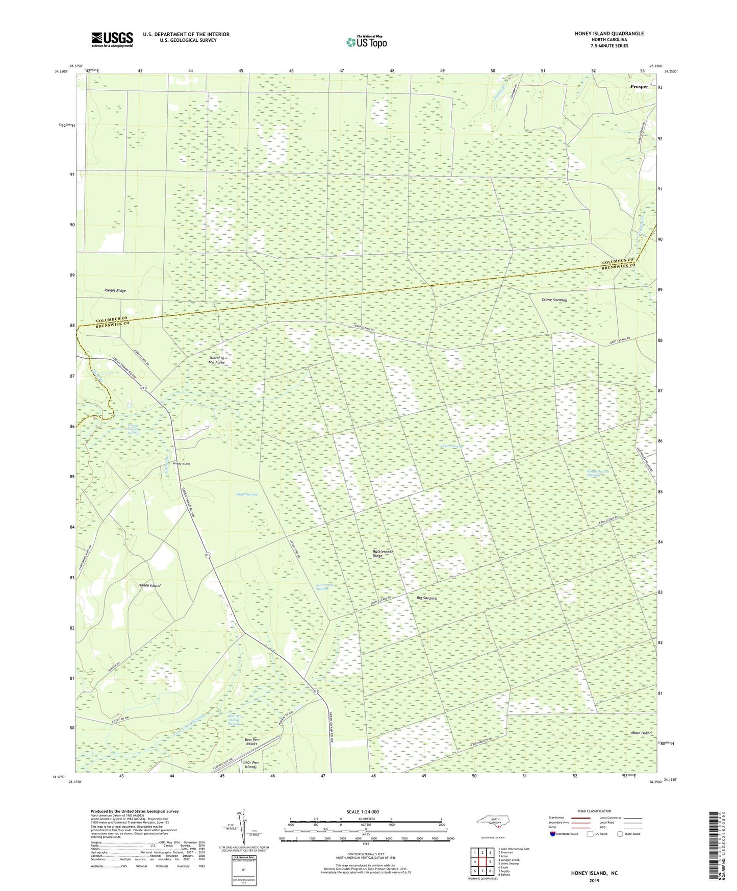
2022 topographic map quadrangle Honey Island in the state of North Carolina. Scale: 1:24000. Based on the newly updated USGS 7.5' US Topo map series, this map is in the following counties: Brunswick, Columbus. The map contains contour data, water features, and other items you are used to seeing on USGS maps, but also has updated roads and other features. This is the next generation of topographic maps. Printed on high-quality waterproof paper with UV fade-resistant inks.
Quads adjacent to this one:
West: Juniper Creek
Northwest: Lake Waccamaw East
North: Freeman
Northeast: Acme
East: Lewis Swamp
Southeast: Bolivia
South: Supply
Southwest: Exum
This map covers the same area as the classic USGS quad with code o34078b3.
Contains the following named places: Bear Pen Airport, Bear Pen Islands Swamp, Big Savanna, Camp Branch, Clear Branch, Crane Savanna, Egypt Swamp, Honey Island, Island in the Forks, Lateral Canal H, Moon Island, Rattlesnake Ridge, Rattlesnake Swamp, Ready Branch Opening, Riegel Lookout Tower, Riegel Ridge