MyTopo
Browns Summit North Carolina US Topo Map
Couldn't load pickup availability
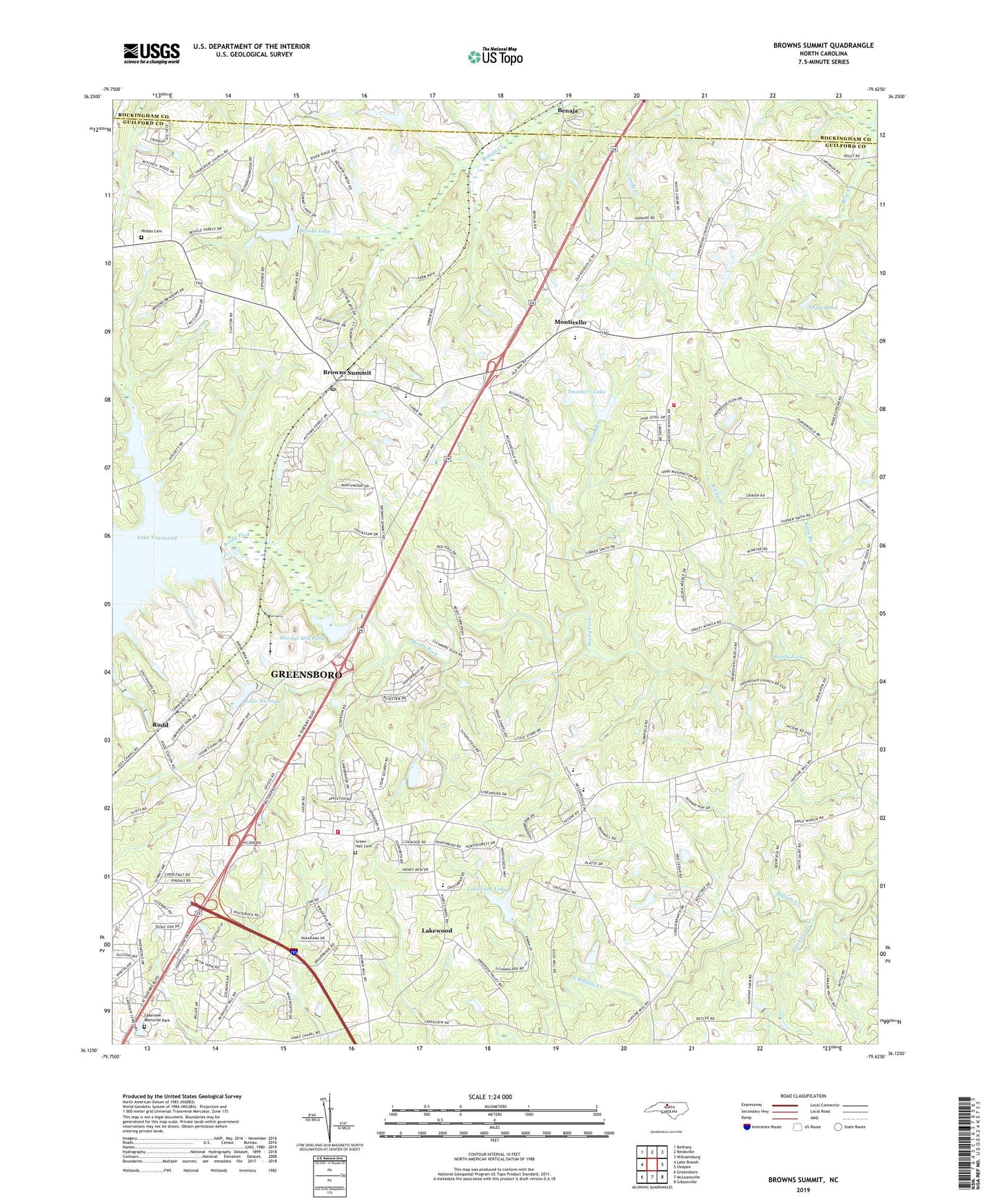
2022 topographic map quadrangle Browns Summit in the state of North Carolina. Scale: 1:24000. Based on the newly updated USGS 7.5' US Topo map series, this map is in the following counties: Guilford, Rockingham. The map contains contour data, water features, and other items you are used to seeing on USGS maps, but also has updated roads and other features. This is the next generation of topographic maps. Printed on high-quality waterproof paper with UV fade-resistant inks.
Quads adjacent to this one:
West: Lake Brandt
Northwest: Bethany
North: Reidsville
Northeast: Williamsburg
East: Ossipee
Southeast: Gibsonville
South: McLeansville
Southwest: Greensboro
This map covers the same area as the classic USGS quad with code o36079b6.
Contains the following named places: Ames Lake, Ames Lake Dam, Apple Pond, Benaja, Blackwood Creek, Brooks Lake, Browns Summit, Browns Summit Post Office, Browns Summit School, Camp Herman, Fair Grove Church, Fellowship Hall, Fire District 13 Station 55 Greensboro, Friendship Church, Green Hall Cemetery, Hardys Mill Pond, Hardys Mill Pond Dam, Herman Church, Hines Chapel, Holiness Church, Jackson Church, Johnson Church, Katie Branch, Lake Brooks Dam, Lake Herman, Lake Herman Dam, Lakeview Memorial Park, Lakewood, Lakewood Lake, Lakewood Lake Dam, Lebanon Church, Locust Grove Church, Madison Elementary School, Monticello, Monticello Elementary School, North Buffalo Creek, Northeast Guilford Volunteer Fire Department Station 32, Northeast Junior High School, Northeast Senior High School, Phibbs Cemetery, Poplar Grove School, Rocky Branch, Rudd, Smith Branch, Smothers Lake, Smothers Lake Dam, South Buffalo Creek, Squirrel Creek, Townsend Dam, Township of Madison, Township of Monroe, Union Grove Church, White Oak Grove Church, WRDG-TV (Burlington), WWMO-FM (Reidsville), ZIP Code: 27214