MyTopo
Cashiers North Carolina US Topo Map
Couldn't load pickup availability
Also explore the Cashiers Forest Service Topo of this same quad for updated USFS data
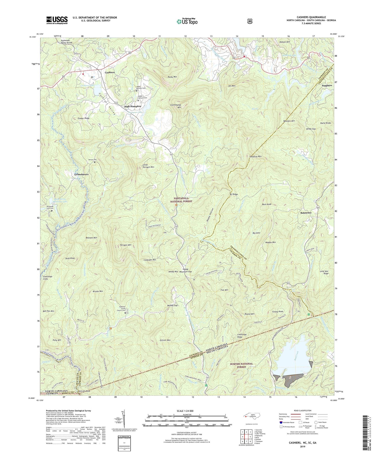
2022 topographic map quadrangle Cashiers in the states of North Carolina, South Carolina, Georgia. Scale: 1:24000. Based on the newly updated USGS 7.5' US Topo map series, this map is in the following counties: Jackson, Transylvania, Oconee, Macon, Rabun. The map contains contour data, water features, and other items you are used to seeing on USGS maps, but also has updated roads and other features. This is the next generation of topographic maps. Printed on high-quality waterproof paper with UV fade-resistant inks.
Quads adjacent to this one:
West: Highlands
Northwest: Glenville
North: Big Ridge
Northeast: Lake Toxaway
East: Reid
Southeast: Salem
South: Tamassee
Southwest: Satolah
Contains the following named places: Air Ridge, Bad Creek, Bearpen Mountain, Big Hole, Bohaynee, Bohaynee Church, Brushy Mountain, Bryson Branch, Buck Knob, Bull Pen, Bull Pen Mountain, Cashiers, Cashiers - Glenville Fire Department Station 3, Cashiers Census Designated Place, Cashiers Glenville Fire Department Station 1 Headquarters, Cashiers Lake, Cashiers Lake Dam, Cashiers Post Office, Cashiers Valley, Chattooga Cliffs, Chattooga Ridge, Chimneytop Mountain, Coldsides Mountain, Corbin Creek, Dark Branch, Democrat Creek, Ellicott Mountain, Ellicott Rock, Fairfield Lake, Fairfield Lake Dam, Flat Mountain, Foothills Trail, Fowler Creek, Glade Creek, Grassy Knob, Green Creek, Grimshawes, Hampton Lake, Hampton Lake Dam, Happy Hollow, Heady Mountain, Heady Mountain Church, Heady Mountain Gap, High Hampton, Hogback Creek, Hogback Dam, Hogback Lake, Holly Berry Mountain Dam, Holly Berry Mountain Lake, Intermont Dam, Intermont Lake, Jacks Creek, Jacks Knob, Little Hogback Creek, Little Terrapin Mountain, Little Whitewater Creek, Long Spur Ridge, Lower Zachary Cemetery, Meadow Lake, Meadow Lake Dam, Montvale School, Mud Creek, Mulkey Gap, Nicholson Licklog Creek, Nix Creek, Nix Mountain, Norton Cemetery, Pleasant Grove Church, Pleasant Grove Church Cemetery, Polly Mountain, Rainy Knobs, Rocky Mountain, Round Mountain, Sapphire, Sapphire Lake, Sapphire Lake Dam, Sassafras Mountain, Scotsman Creek, Silver Run Creek, Slatten Branch, Sloan Bridge Campground, Terrapin Mountain, Timber Ridge, Township of Cashiers, Upper Falls, Upper Zachary Cemetery, Waddle Branch, Waddle Mountain, Whiteside Cove Cemetery, Windy Gap, ZIP Code: 28717


