MyTopo
Big Ridge North Carolina US Topo Map
Couldn't load pickup availability
Also explore the Big Ridge Forest Service Topo of this same quad for updated USFS data
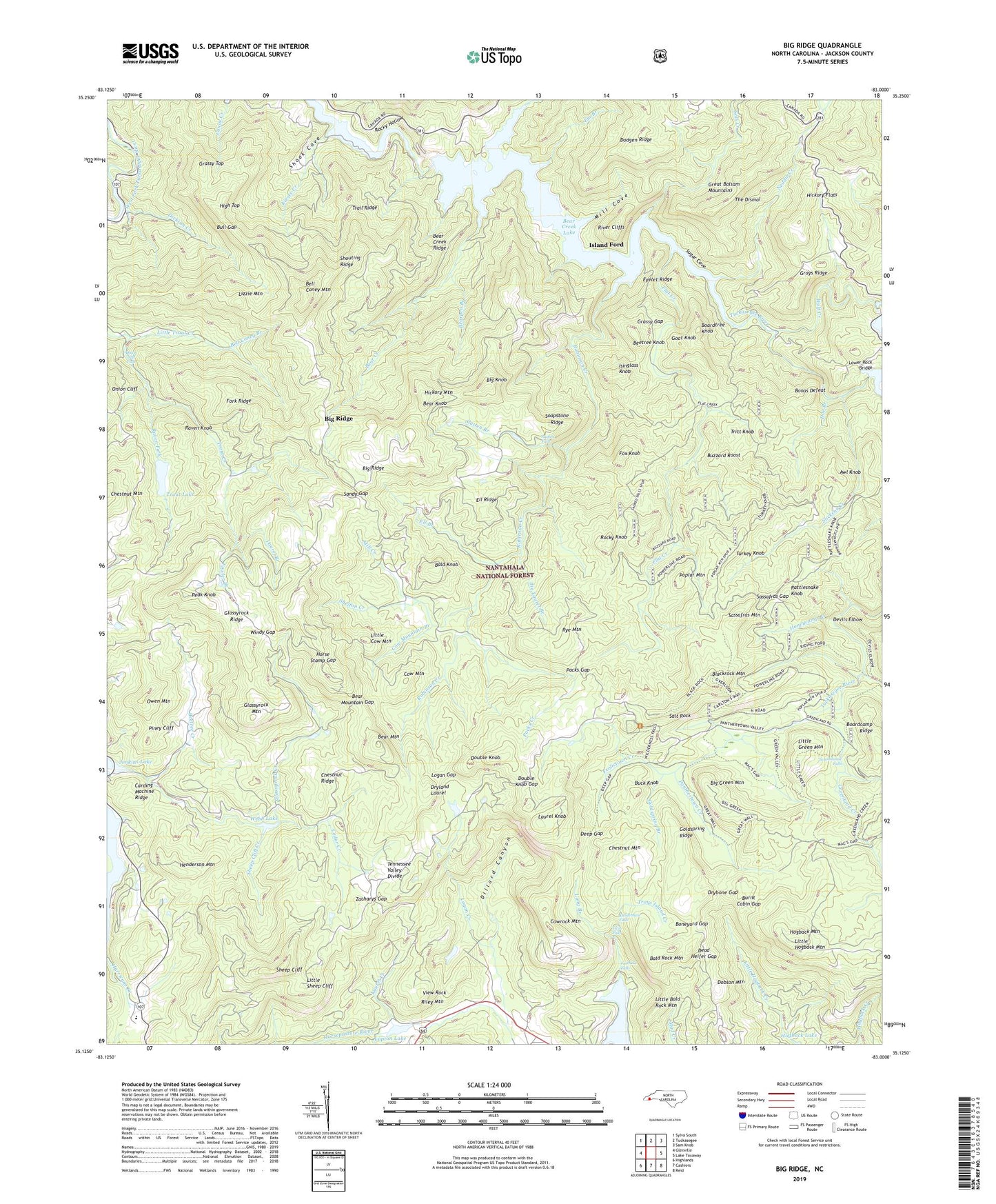
2022 topographic map quadrangle Big Ridge in the state of North Carolina. Scale: 1:24000. Based on the newly updated USGS 7.5' US Topo map series, this map is in the following counties: Jackson. The map contains contour data, water features, and other items you are used to seeing on USGS maps, but also has updated roads and other features. This is the next generation of topographic maps. Printed on high-quality waterproof paper with UV fade-resistant inks.
Quads adjacent to this one:
West: Glenville
Northwest: Sylva South
North: Tuckasegee
Northeast: Sam Knob
East: Lake Toxaway
Southeast: Reid
South: Cashiers
Southwest: Highlands
This map covers the same area as the classic USGS quad with code o35083b1.
Contains the following named places: Awl Knob, Bald Knob, Bald Rock Mountain, Bear Creek, Bear Creek Dam, Bear Creek Lake, Bear Creek Ridge, Bear Knob, Bear Mountain, Bear Mountain Gap, Bearpen Branch, Beetree Creek, Beetree Knob, Bell Coney Branch, Bell Coney Mountain, Big Branch, Big Green Mountain, Big Knob, Big Laurel Branch, Big Ridge, Big Ridge Church, Blackrock Mountain, Boardcamp Ridge, Boardtree Knob, Bonas Defeat, Boneyard Gap, Buck Knob, Bull Gap, Burnt Cabin Gap, Buzzard Roost, Carding Machine Ridge, Cedar Cliff Lake, Cedar Creek, Chestnut Mountain, Chestnut Ridge, Cow Mountain, Cow Mountain Branch, Cowrock Mountain, Dead Heifer Gap, Deep Gap, Devils Elbow, Dickson Creek, Dillard Canyon, Dobson Mountain, Doe Branch, Double Knob, Double Knob Gap, Drybone Gap, Dryland Laurel, Ell Branch, Ell Ridge, Em Branch, Eyelet Ridge, Fairfield Falls, Fairfield Lake, Flat Creek, Flatwood Branch, Fork Ridge, Fowler Branch, Fox Knob, Frolictown Creek, Gladie Creek, Glassyrock Creek, Glassyrock Mountain, Glassyrock Ridge, Glenville Cashiers Rescue Squad, Goat Knob, Goldspring Branch, Goldspring Ridge, Grassy Gap, Grassy Top, Grays Ridge, Greenland Creek, Henderson Mountain, Hickory Flats, Hickory Mountain, High Top, Hogback Mountain, Honeycamp Branch, Horse Stamp Gap, Indian Place, Isinglass Knob, Island Ford, Jenkins Lake, Kiesee Creek, Laurel Branch, Laurel Creek, Laurel Knob, Little Bald Rock Mountain, Little Cow Mountain, Little Green Creek, Little Green Mountain, Little Hogback Mountain, Little Sheep Cliff, Little Trout Creek, Lizzie Mountain, Logan Creek, Logan Gap, Long Branch, Lower Rock Bridge, Lupton Lake, Lupton Lake Dam, Maidenhair Falls, Merrie Woode Camp, Mill Cove, Mill Creek, Neddie Creek, Neddie Mountain Church, Onion Cliff, Onion Cliff Falls, Owen Mountain, Packs Creek, Packs Gap, Panthertown Creek, Peak Knob, Piney Cliff, Poplar Mountain, Rattlesnake Knob, Raven Fork, Raven Knob, Riley Mountain, River Cliffs, Robinson Creek, Rochester Creek, Rock Bridge School, Rocky Hollow, Rocky Knob, Rye Mountain, Salt Rock, Sandy Gap, Sassafras Gap, Sassafras Mountain, Schoolhouse Falls, Sheep Cliff, Sheep Cliff Creek, Shelton Creek, Shook Cove, Shouting Ridge, Slatten Branch, Slatten Falls, Slickens Creek, Soapstone Ridge, Sols Creek, Sugar Cove, Tanasee Lake Dam, The Dismal, Township of Hamburg, Trail Ridge, Trays Island Creek, Tritt Knob, Trout Lake, Trout Lake Dam, Tuckasegee Lake, Tuckasegee Lake Dam, Turkey Branch, Turkey Knob, Twin Falls, View Rock, Webb Lake, Webb Lake Dam, Windy Gap, Wolf Creek, Wolf Creek Dam, Zacharys Gap, ZIP Code: 28736


