MyTopo
Collettsville North Carolina US Topo Map
Couldn't load pickup availability
Also explore the Collettsville Forest Service Topo of this same quad for updated USFS data
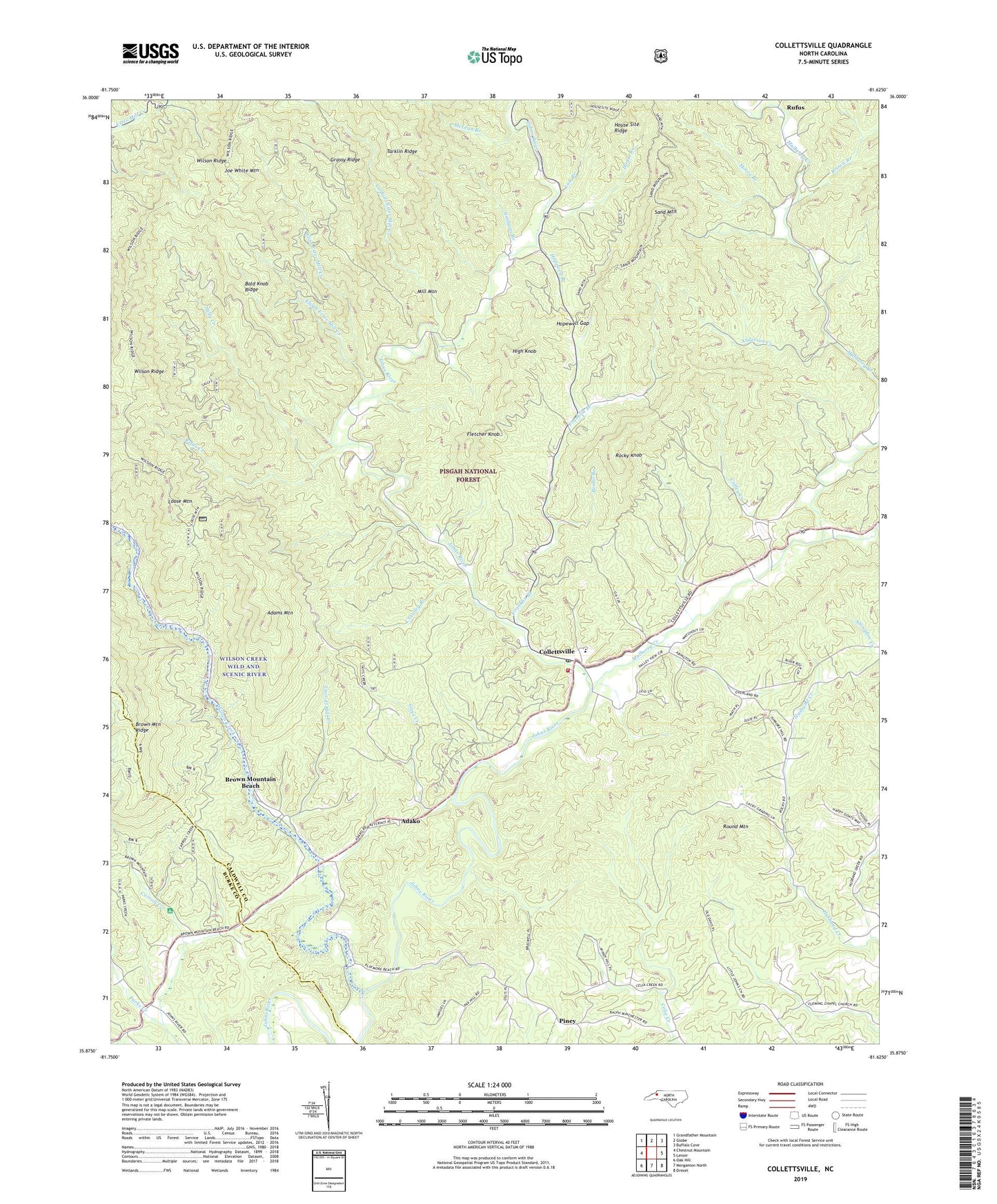
2022 topographic map quadrangle Collettsville in the state of North Carolina. Scale: 1:24000. Based on the newly updated USGS 7.5' US Topo map series, this map is in the following counties: Caldwell, Burke. The map contains contour data, water features, and other items you are used to seeing on USGS maps, but also has updated roads and other features. This is the next generation of topographic maps. Printed on high-quality waterproof paper with UV fade-resistant inks.
Quads adjacent to this one:
West: Chestnut Mountain
Northwest: Grandfather Mountain
North: Globe
Northeast: Buffalo Cove
East: Lenoir
Southeast: Drexel
South: Morganton North
Southwest: Oak Hill
This map covers the same area as the classic USGS quad with code o35081h6.
Contains the following named places: Adako, Adams Mountain, Anderson Creek, Bald Knob Ridge, Benbo Branch, Boone Fork, Brown Branch, Brown Mountain Beach, Brown Mountain Ridge, Carroll Creek, Carroll Mill Creek, Coffey Creek, Coffeys, Collettsville, Collettsville Post Office, Collettsville School, Collettsville Volunteer Fire and Rescue Department, Confidence Church, Conways Chapel, Crawley Branch, Elijah Estes Mill Creek, Eliza Estes Mill Creek, Fleming Chapel, Fletcher Knob, Franklin Branch, Globe Set, Grassy Ridge, Green Valley Church, Guys Creek, High Knob, Hopewell Branch, Hopewell Gap, House Branch, House Site Ridge, Joe White Mountain, Larkins Estes Mill Creek, Lick Branch, Loose Mountain, McLean Branch, Mill Mountain, Moore Branch, Mulberry Creek, Mulvale Church, Muttenz, O P Fox Dam, Ollis Hill Church, Piney, Reids Creek, Rocky Knob, Rocky Springs Baptist Church, Round Mountain, Rufus, Rufus Baptist Church, Sally Creek, Sand Mountain, Simmons Branch, Tarklin Ridge, Township of Johns River, Wilson Creek, Wilson Ridge