MyTopo
Exum North Carolina US Topo Map
Couldn't load pickup availability
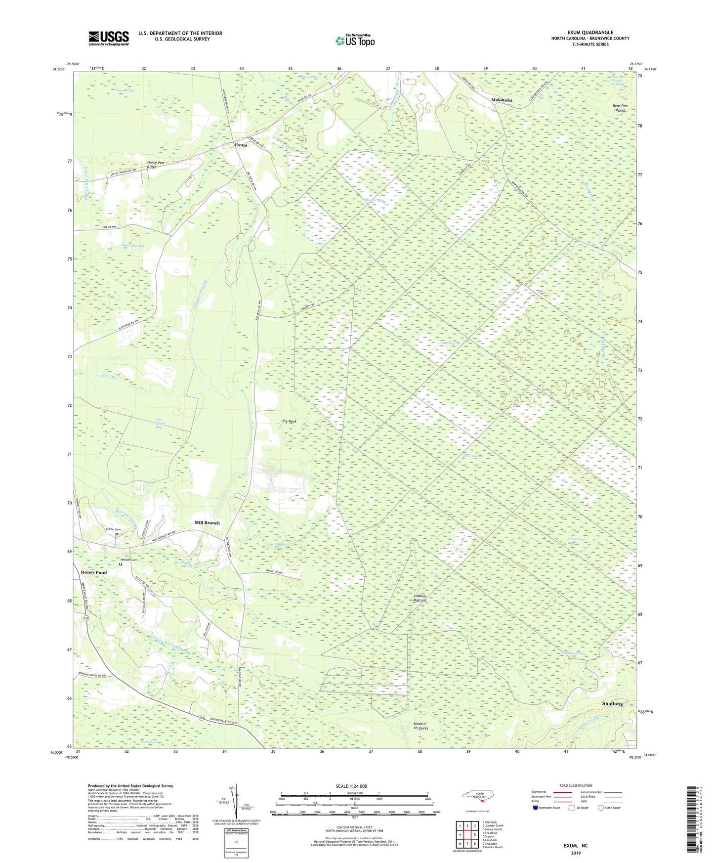
2022 topographic map quadrangle Exum in the state of North Carolina. Scale: 1:24000. Based on the newly updated USGS 7.5' US Topo map series, this map is in the following counties: Brunswick. The map contains contour data, water features, and other items you are used to seeing on USGS maps, but also has updated roads and other features. This is the next generation of topographic maps. Printed on high-quality waterproof paper with UV fade-resistant inks.
Quads adjacent to this one:
West: Freeland
Northwest: Old Dock
North: Juniper Creek
Northeast: Honey Island
East: Supply
Southeast: Holden Beach
South: Shallotte
Southwest: Calabash
This map covers the same area as the classic USGS quad with code o34078a4.
Contains the following named places: Alligator Bay, Bay Branch, Bee Island Bay, Big Neck, Clayton Bay, Exum, Faith Full Gospel Church, Good Luck Bay, Griffin Cemetery, Head o' th' Forks, Holylight Church, Honey Pond, Horse Pen Bay, Horse Pen Ridge, Little Muddy Branch, Ludlum Pasture, Makatoka, Mill Bay, Mill Branch, Milligan Cemetery, Muddy Branch, New Life Church, Piver, Saint Matthew Church, Shingletree Bay, South Prong Wet Ash Swamp, Township of Waccamaw, Trinity Church, Union Church, Wide Bay, Zion Church, ZIP Code: 28420