
MyTopo
Mooretown North Carolina US Topo Map
Couldn't load pickup availability
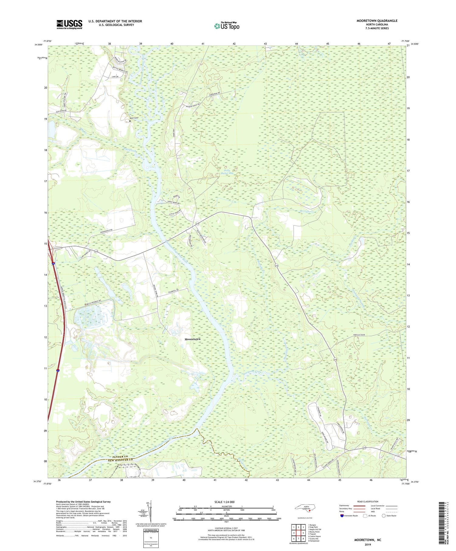
2019 topographic map quadrangle Mooretown in the state of North Carolina. Scale: 1:24000. Based on the newly updated USGS 7.5' US Topo map series, this map is in the following counties: Pender, New Hanover. The map contains contour data, water features, and other items you are used to seeing on USGS maps, but also has updated roads and other features. This is the next generation of topographic maps. Printed on high-quality waterproof paper with UV fade-resistant inks.
Quads adjacent to this one:
West: Rocky Point
Northwest: Burgaw
North: Stag Park
Northeast: Maple Hill SW
East: Topsail
Southeast: Hampstead
South: Scotts Hill
Southwest: Castle Hayne
Contains the following named places: Ashe Cemetery, Catskin Creek, Harrisons Creek, Holly Shelter Bay, Island Creek, Island Creek Church, Lanes Ferry Park, Merricks Creek, Mooretown, Mount Rena Church, Pike Creek, Trumpeter Swamp, Union Chapel


