MyTopo
Pin Hook North Carolina US Topo Map
Couldn't load pickup availability
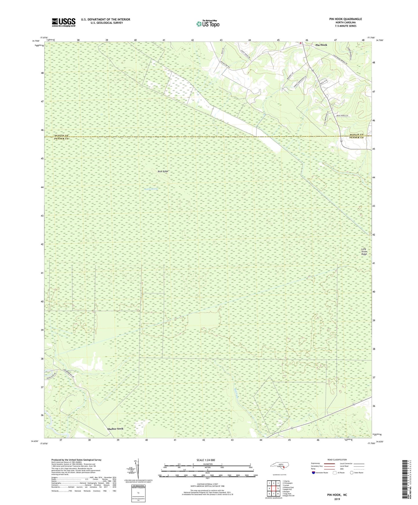
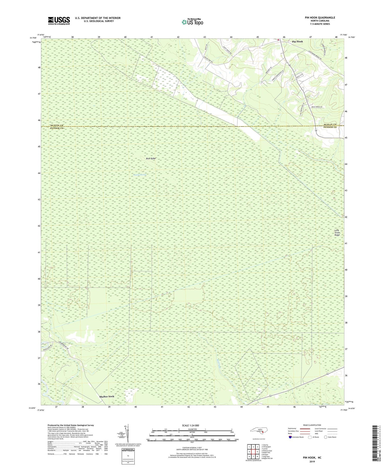
2019 topographic map quadrangle Pin Hook in the state of North Carolina. Scale: 1:24000. Based on the newly updated USGS 7.5' US Topo map series, this map is in the following counties: Pender, Duplin. The map contains contour data, water features, and other items you are used to seeing on USGS maps, but also has updated roads and other features. This is the next generation of topographic maps. Printed on high-quality waterproof paper with UV fade-resistant inks.
Quads adjacent to this one:
West: Wallace East
Northwest: Charity
North: Chinquapin
Northeast: Lyman
East: Maple Hill
Southeast: Maple Hill SW
South: Stag Park
Southwest: Burgaw
Contains the following named places: Angola Bay Game Land, Angola Swamp, Blue Ridge, Blue Ridge Airfield, Long Straw Ridge, Oak Grove Church, Pin Hook, Pin Hook Volunteer Fire Department, Shelter Neck Church