MyTopo
Rivermont North Carolina US Topo Map
Couldn't load pickup availability
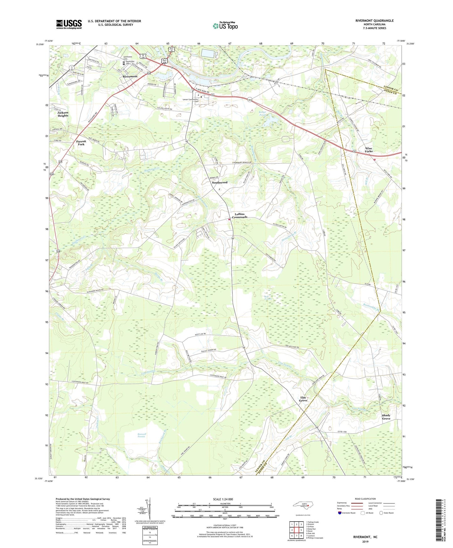
2019 topographic map quadrangle Rivermont in the state of North Carolina. Scale: 1:24000. Based on the newly updated USGS 7.5' US Topo map series, this map is in the following counties: Lenoir, Jones. The map contains contour data, water features, and other items you are used to seeing on USGS maps, but also has updated roads and other features. This is the next generation of topographic maps. Printed on high-quality waterproof paper with UV fade-resistant inks.
Quads adjacent to this one:
West: Deep Run
Northwest: Falling Creek
North: Kinston
Northeast: Grifton
East: Dover
Southeast: Phillips Crossroads
South: Comfort
Southwest: Pink Hill
Contains the following named places: Adkin Branch, Armenia Church, Ash Branch, Ball Pocosin, Beautiful Valley Church, Bonniebass Chapel, Booker T Washington, Brickyard Branch, Brooks, Caswell, Dupreeville, Elm Grove, Frenchmans Creek Mall, Gateway Tabernacle, Judges Tabernacle, Kellys Pond, Kellys Pond Dam, Kellys Pond Lookout Tower, Kings Chapel, Kinston Lookout Tower, Lenoir Community College, Lenoir County Fairgrounds, Little Rock Church, Loftins Crossroads, Lucy Branch, Mary Beth Park, Meadow Brook, Mill Branch, Miracle Temple, Mott Swamp, Parrott Fork, Patterson Chapel, Peachtree Treatment Plant, Peter Creek, Pine Grove Church, Revival Mission Church, Rivermont, Rouses Chapel, Saint James Church, Saint Paul Church, Shady Grove, Shady Grove Methodist Church, Southview Cemetery, Southwest Cemetery, Southwest Church, Southwood, Southwood Elementary School, Southwood Fire and Rescue, Southwood Fire District, Spring Branch, Strawberry Branch, Township of Southwest, Township of Woodington, Vine Swamp Church, Wise Forks, WKNS-FM (Kinston), Wyse Fork Emergency Medical Services, Wyse Fork Volunteer Fire Department, Yadkin Branch, ZIP Code: 28501