MyTopo
South River North Carolina US Topo Map
Couldn't load pickup availability
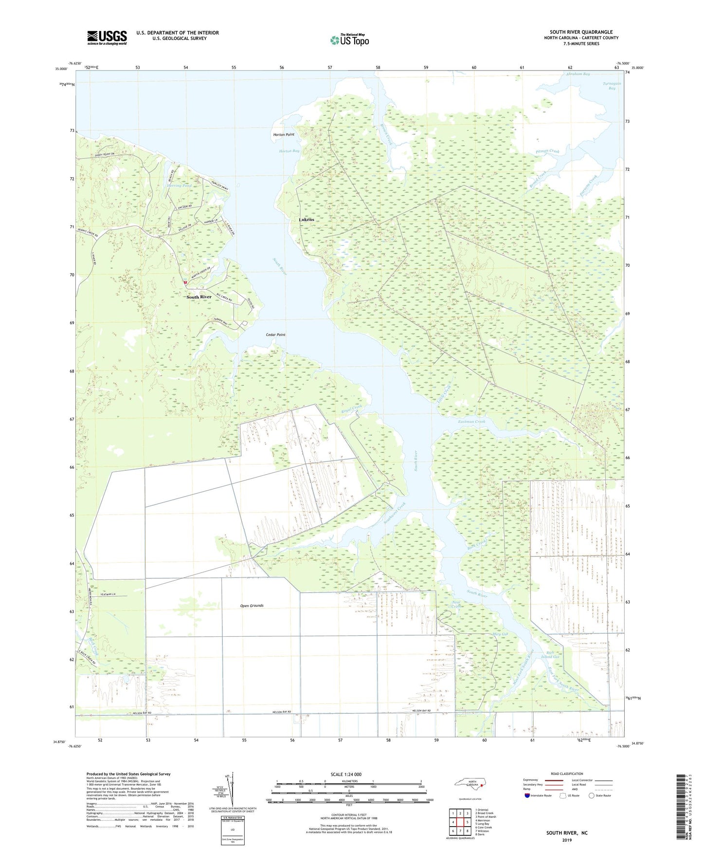
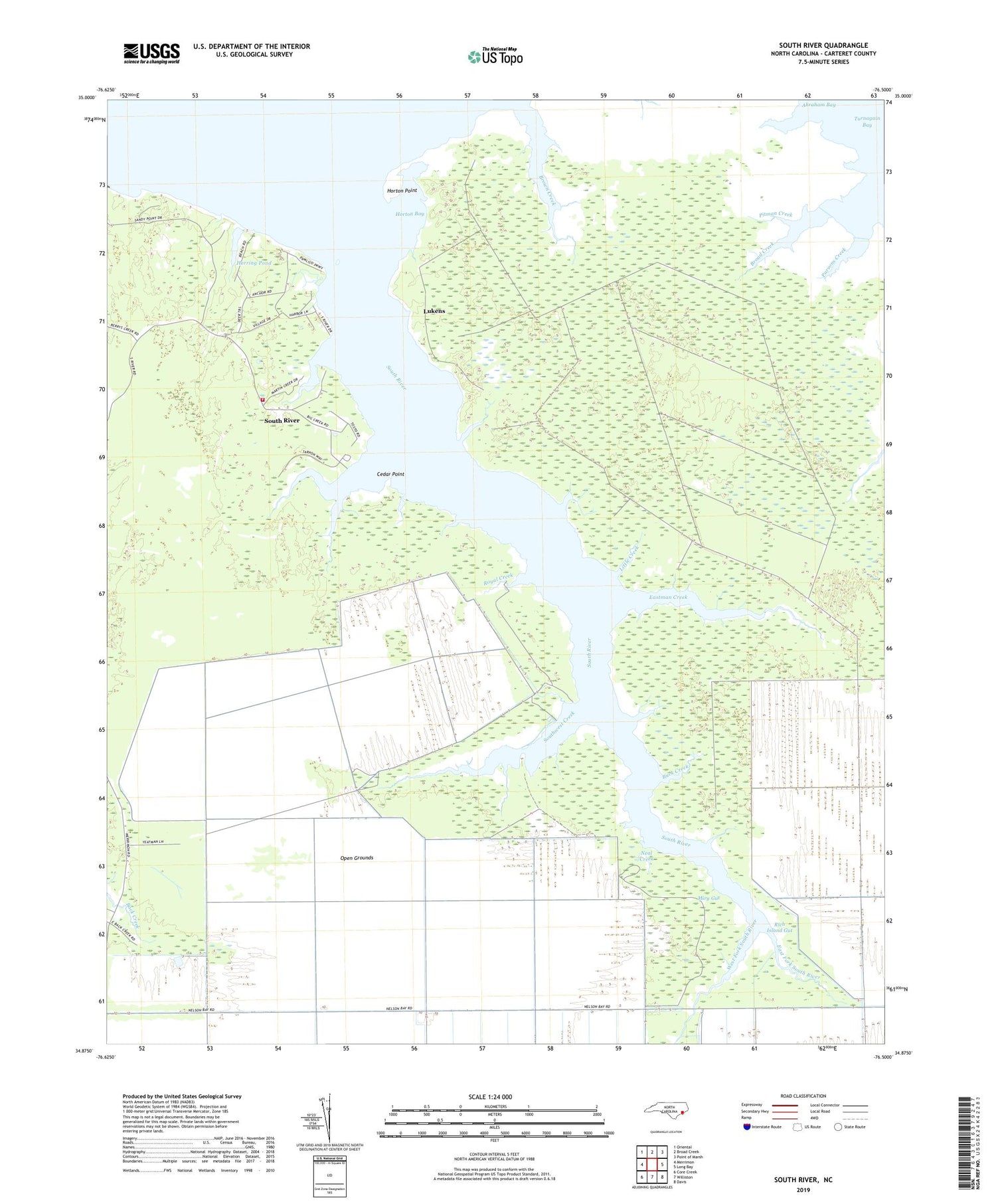
2019 topographic map quadrangle South River in the state of North Carolina. Scale: 1:24000. Based on the newly updated USGS 7.5' US Topo map series, this map is in the following counties: Carteret. The map contains contour data, water features, and other items you are used to seeing on USGS maps, but also has updated roads and other features. This is the next generation of topographic maps. Printed on high-quality waterproof paper with UV fade-resistant inks.
Quads adjacent to this one:
West: Merrimon
Northwest: Oriental
North: Broad Creek
Northeast: Point of Marsh
East: Long Bay
Southeast: Davis
South: Williston
Southwest: Core Creek
Contains the following named places: Abraham Bay, Big Creek, Broad Creek, Brown Creek, Buck Creek, Cedar Point, Coffee Creek, Dixon Creek, Doe Creek, Duck Creek, East Fork South River, Eastman Creek, Elisha Creek, Hardy Creek, Herring Pond, Horton Bay, Horton Point, Little Creek, Lukens, Miry Gut, Mulberry Creek, Neal Creek, Old House Creek, Parsons Creek, Pitman Creek, Rich Island Gut, Royal Creek, South River, South River Light, South River Merrimon Fire and EMS, South River Merrimon Rescue Squad, Southwest Creek, Sportsmans Village, Township of Merrimon, West Fork South River, ZIP Code: 28516