MyTopo
Warsaw North North Carolina US Topo Map
Couldn't load pickup availability
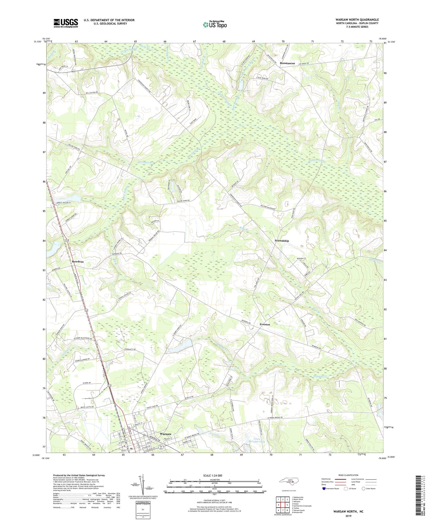
2022 topographic map quadrangle Warsaw North in the state of North Carolina. Scale: 1:24000. Based on the newly updated USGS 7.5' US Topo map series, this map is in the following counties: Duplin. The map contains contour data, water features, and other items you are used to seeing on USGS maps, but also has updated roads and other features. This is the next generation of topographic maps. Printed on high-quality waterproof paper with UV fade-resistant inks.
Quads adjacent to this one:
West: Faison
Northwest: Dobbersville
North: Mount Olive
Northeast: Williams
East: Summerlins Crossroads
Southeast: Kenansville
South: Warsaw South
Southwest: Turkey
This map covers the same area as the classic USGS quad with code o35078a1.
Contains the following named places: Bear Marsh Branch, Bear Marsh Church, Bear Swamp, Bear Swamp Post Office, Beautancus, Big Branch, Bowden Millpond, Bowden Millpond Dam, Bowdens, Bowdens Census Designated Place, Bowdens Church, Calvary Church, Cow Hole Branch, Dicks Branch, Dolph Post Office, Everton, Faisons Chapel, Friendship, Friendship Church, Horsepen Branch, King Branch, Larry McCullen Pond, Larry McCullen Pond Dam, Macedonia Church, Mill Branch, Red Hill Church, Reedy Branch, Saint Johns Church, Saint Thomas Church, Sanford Church, Taylor Airport, Township of Faison, Unity Methodist Church, Warsaw Junior High School, Warsaw Post Office, Whiteoak Branch, WTRQ-AM (Warsaw)