MyTopo
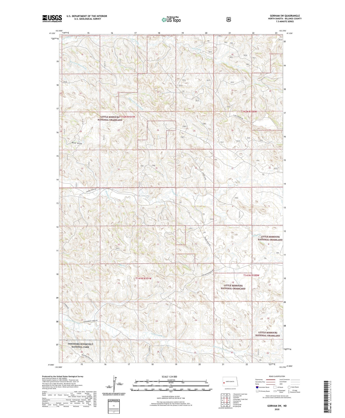
Gorham SW North Dakota US Topo Map
Couldn't load pickup availability
Also explore the Gorham SW Forest Service Topo of this same quad for updated USFS data
2024 topographic map quadrangle Gorham SW in the state of North Dakota. Scale: 1:24000. Based on the newly updated USGS 7.5' US Topo map series, this map is in the following counties: Billings. The map contains contour data, water features, and other items you are used to seeing on USGS maps, but also has updated roads and other features. This is the next generation of topographic maps. Printed on high-quality waterproof paper with UV fade-resistant inks.
Quads adjacent to this one:
West: Wannagan Creek East
Northwest: Roosevelt Creek East
North: Gorham NW
Northeast: Gorham
East: Gorham SE
Southeast: Fryburg NE
South: Fryburg NW
Southwest: Medora
This map covers the same area as the classic USGS quad with code o47103a4.
Contains the following named places: Big Stick Oilfiled, Billings County, Oyhus Ranch, Stevens School, Theodore Roosevelt Oil Field, Thompson Ranch