MyTopo
Farmersville Ohio US Topo Map
Couldn't load pickup availability
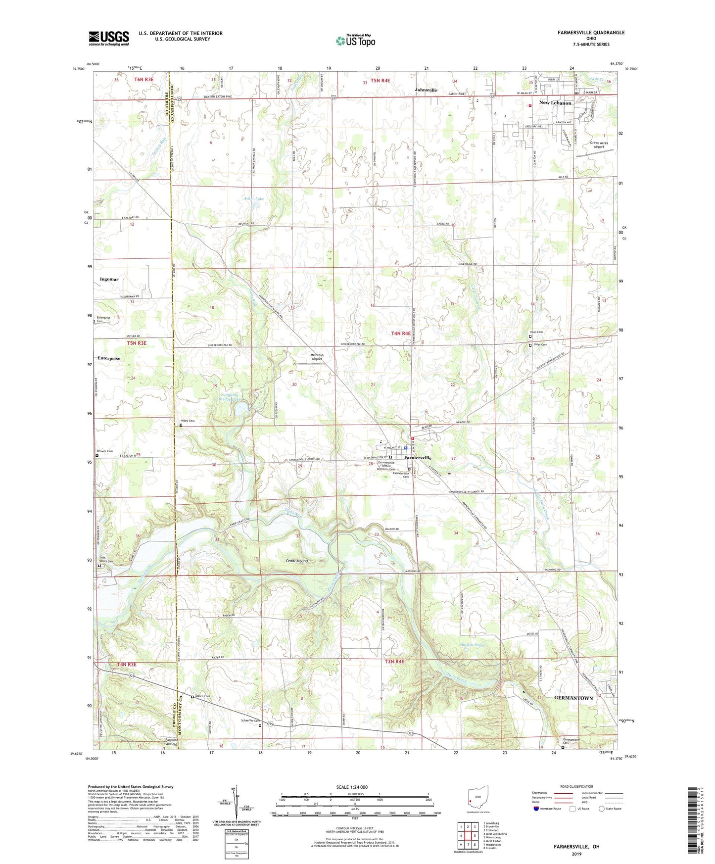
2023 topographic map quadrangle Farmersville in the state of Ohio. Scale: 1:24000. Based on the newly updated USGS 7.5' US Topo map series, this map is in the following counties: Montgomery, Preble. The map contains contour data, water features, and other items you are used to seeing on USGS maps, but also has updated roads and other features. This is the next generation of topographic maps. Printed on high-quality waterproof paper with UV fade-resistant inks.
Quads adjacent to this one:
West: West Alexandria
Northwest: Lewisburg
North: Brookville
Northeast: Trotwood
East: Miamisburg
Southeast: Franklin
South: Middletown
Southwest: West Elkton
This map covers the same area as the classic USGS quad with code o39084f4.
Contains the following named places: Asher Lake, Berea Chapel, Bob Siebenthaler Natural Area, Brethren Church, Brower Cemetery, Camp Miami, Cedar Mound, County Line, Diehl Run, Dixie High School, Dutch Cemetery, Enterprise Cemetery, Farmersville, Farmersville Cemetery, Farmersville Elementary School, Farmersville Fire Department, Farmersville Post Office, Farmersville United Brethren Cemetery, Farmersville United Church of Christ, Farmersville United Methodist Church, First Baptist Church of New Lebanon, Germantown Cemetery, Germantown Dam, Germantown MetroPark, Germantown Reservoir, Glen Maple Farms, Green Acres Airport, Hisey Cemetery, Holp Cemetery, Ingomar, Jackson Township Police Department, Johnsville, Johnsville Post Office, Jones Park, Judys Airport, McIntosh Airport, New Lebanon, New Lebanon Church of Christ, New Lebanon Elementary School, New Lebanon Fire Department Station 69, New Lebanon Middle School, New Lebanon Mobile Home Park, New Lebanon Post Office, New Lebanon United Methodist Church, Peters Farm, Saint Andrews Lutheran Church, Saint Johns Church, Schaeffer Cemetery, Shady Acres Mobile Home Court, Slifer Cemetery, Slifers Presbyterian Church, Sollenberger Farms, Southern Ohio Pit, State Road Church, Sunfish Pond, Swinging Bridge Lake, Toms Run, Township of Jackson, Trinity United Church of Christ, Twin Valley Cemetery, Valley View High School, Village of Farmersville, Village of New Lebanon, ZIP Codes: 45325, 45327, 45345


