MyTopo
Miamisburg Ohio US Topo Map
Couldn't load pickup availability
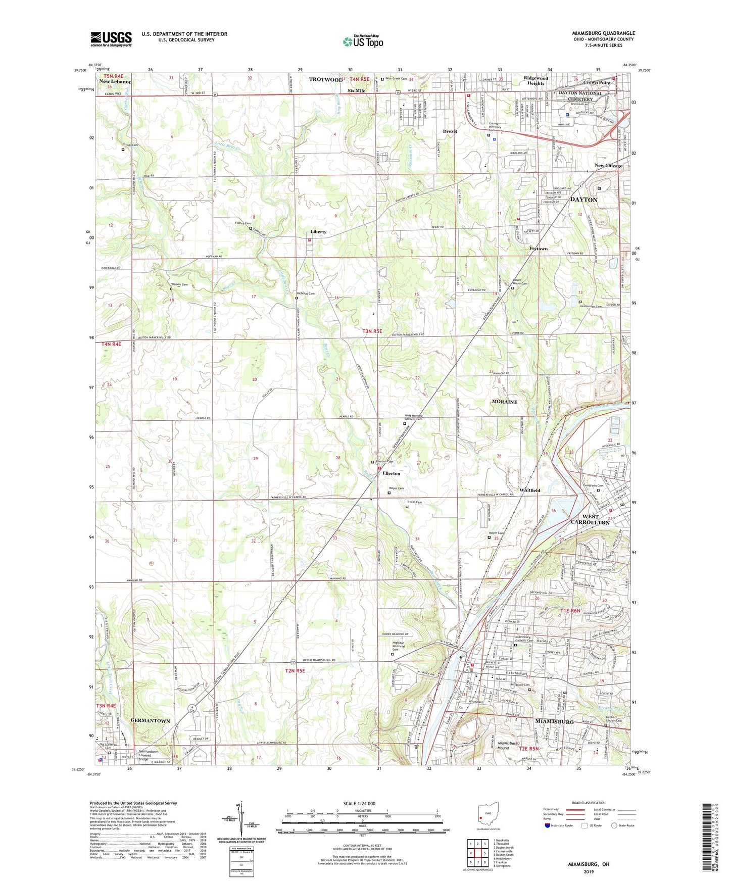
2023 topographic map quadrangle Miamisburg in the state of Ohio. Scale: 1:24000. Based on the newly updated USGS 7.5' US Topo map series, this map is in the following counties: Montgomery. The map contains contour data, water features, and other items you are used to seeing on USGS maps, but also has updated roads and other features. This is the next generation of topographic maps. Printed on high-quality waterproof paper with UV fade-resistant inks.
Quads adjacent to this one:
West: Farmersville
Northwest: Brookville
North: Trotwood
Northeast: Dayton North
East: Dayton South
Southeast: Springboro
South: Franklin
Southwest: Middletown
This map covers the same area as the classic USGS quad with code o39084f3.
Contains the following named places: Aldergate Missionary Baptist Church, Allen Park, Arlington Park, Atomic Energy Commission Mound Laboratory, Barker Field, Beachler Field, Bear Creek, Bear Creek Cemetery, Bear Creek Church, Bear Elementary School, Bell Park, Bethany Christian Center, Bethlehem Missionary Baptist Church, Bishop Leibold West School, Blairwood Elementary School, Blairwood Park, Boone Island, Bridgeport, Carlson Year-Round Elementary School for Computer Technology, Church of the Apostolic Faith, Church of the Nazarene, City of Germantown, City of Miamisburg, City of West Carrollton, Community Missionary Baptist Church, Country Pines Tree Farm, County Infirmary Cemetery, Dayton Correction Farm, Dayton Correctional Institution, Dayton Fire Department Station 17, Dayton National Cemetery, Dayton Speedway, Dayton Veterans Affairs Medical Center, Drexel, Drexel Census Designated Place, Drexel Church of the Nazarene, Drexel School, Ellerton, Ellerton Cemetery, Ellerton Post Office, Emmanuel Lutheran Church, Evergreen Cemetery, Faith Apostolic Temple Church, First Baptist Church, First Baptist Church of Miamisburg, First Baptist Church of West Carrollton, First Lutheran Church, First Methodist Church, First Presbyterian Church of West Carrollton, Forney Cemetery, Free Pentecostal Church of God, Freedom Faith Baptist Church, Freewill Primitive Baptist Church, Frytown, Garber Run, Gebhart Church Cemetery, Germantown, Germantown Covered Bridge, Germantown Elementary School, Germantown Fire Department Station 63, Germantown Police Department, Germantown Public Library, Germantown Rescue Squad, Good Samaritan Apostolic Church, Grantwood Park, Groby Field, Gunckels Town Plan Historic District, Harmon Field, Highland Memorial Cemetery, Hillgrove Cemetery, Holderman Cemetery, Jacobs Church, Jane Addams Elementary School, Jefferson High School, Jefferson Junior High School, Jefferson Township Fire Department Station 2, Jefferson Township Fire Department Station 3, Jefferson Township Fire Department Station 60, Jefferson Township Fire Department Station 61, Joe Weidner Park, Kinder Elementary School, Kingdom Hall Jehovahs Witnesses, Kingsville, Lady of Good Hope School, Lake Forest Park, Lakeside Park, Learning Tree Farm, Liberty, Liberty Post Office, Little Bear Creek, Lower Miami Cemetery, Lower Miami Church, Macedonia Baptist Church, Maple Grove Mobile Home Park, Mark Twain Elementary School, McCrabb Park, Meadow Lane Park, Memorial United Methodist Church, Miami Township Fire Department Station 3, Miami Valley Fire District Station 53, Miamisburg, Miamisburg Assembly of God Church, Miamisburg Branch Library, Miamisburg Catholic Cemetery, Miamisburg Community Park, Miamisburg First Church of God, Miamisburg Free Will Baptist Church, Miamisburg High School, Miamisburg Mid-High School, Miamisburg Mound, Miamisburg Mound State Memorial, Miamisburg Plaza Shopping Center, Miamisburg Police Department, Miamisburg Post Office, Montgomery County Home, Montgomery County Sheriff - Jefferson Township Substation, Mound Elementary School, Mound Golf Course, Moyer Cemetery, New Chicago, Nicholas Cemetery, Old Lutheran Cemetery, Old Order Church, Opossum Creek, Opossum Creek Reserve, Orchard Hill Park, Overlook Park, Parkview United Methodist Church, Paul Laurence Dunbar Post Office, Pentecostal Temple Church of God in Christ, Pineview Estates, Prayer Garden Church of God in Christ, Progressive Baptist Church, Radcliffe School, Richardson Park, Ridgewood Heights, River Bend Golf Course, Robert Wilson Park, Rockhill Baptist Church, Roth Middle School at Gardendale, Saint Augustine Church, Saint Johns Church, Saint Peters Church, Salem Bear Creek Church, Salem Churches, Sherwood Twin Drive-In, Six Mile, Southeast Plaza Shopping Center, Spring Run, Sycamore Creek, Sycamore Trails Park, Thomas Hospital, Township of Jefferson, Township of Miami, Township of Union, Trinity United Church of Christ, Trissel Cemetery, Troxel Cemetery, True Vine Missionary Baptist Church, Valley View Middle School, Veterans Administration Medical Center Heliport, Veterans Memorial Playground, Victory Bible Church, Voyager Village West, Wantz Middle School, WDTN-TV (Dayton), Weaver Cemetery, Wesley United Methodist Church, West Carrollton, West Carrollton Church of Christ, West Carrollton Fire Department Station 56, West Carrollton Wesleyan Church, West Memory Gardens Cemetery, Westover Park, Westtown Shopping Center, WFCJ-FM (Miamisburg), Whitfield, WKEF-TV (Dayton), WMHS-FM (Miamisburg), WQRP-FM (West Carrollton), WRGT-TV (Dayton), WROU-FM (West Carrollton), ZIP Codes: 45342, 45417, 45418, 45428


