MyTopo
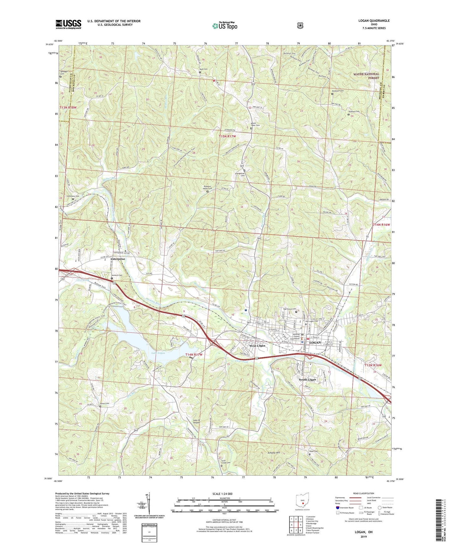
Logan Ohio US Topo Map
Couldn't load pickup availability
2023 topographic map quadrangle Logan in the state of Ohio. Scale: 1:24000. Based on the newly updated USGS 7.5' US Topo map series, this map is in the following counties: Hocking, Fairfield, Perry. The map contains contour data, water features, and other items you are used to seeing on USGS maps, but also has updated roads and other features. This is the next generation of topographic maps. Printed on high-quality waterproof paper with UV fade-resistant inks.
Quads adjacent to this one:
West: Rockbridge
Northwest: Lancaster
North: Bremen
Northeast: Junction City
East: Gore
Southeast: Union Furnace
South: New Plymouth
Southwest: South Bloomingville
This map covers the same area as the classic USGS quad with code o39082e4.
Contains the following named places: Antioch Cemetery, Antioch School, Ball School, Berry School, Bethany Church, Brethren Cemetery, Brethren Church, Camp Akita, Carnes School, Centenary Cemetery, Central Elementary School, Church of the Nazarene, City of Logan, Clear Fork, Dry Run, Duck Creek, Dunkard Cemetery, East Elementary School, Echo Hill Camp, Enterprise, Enterprise Elementary School, Enterprise Post Office, Evangelical Cemetery, Evangelical Church, First Church of Christ, First Presbyterian Church, Harper Run, Helber Run, Hocking County Courthouse, Hocking County Emergency Medical Services Station 1, Hocking County Fairgrounds, Hocking County Jail, Hocking County Law Library, Hocking County Sheriff's Office, Hocking Hills Golf Course, Hocking Hills Orchard, Hocking Mall Shopping Center, Hocking Valley Community Hospital, Kachelmacher Park, Lake Logan, Lake Logan Dam, Lake Logan State Park, Lazy-W Airport, Logan, Logan Camp, Logan Fire Department, Logan High School, Logan Plaza Shopping Center, Logan Police Department, Logan Post Office, Logan-Hocking County District Library, Marion School, Marion Township Fire Department, Middletown Park District Dam, Middletown Park District Lake Dam, Mount Tabor Cemetery, Mount Tabor Church, Oak Grove Cemetery, Old Logan Cemetery, Oldtown Creek, Pleasant Valley Cemetery, Pleasant Valley Church, Pruden School, Riches School, Rubel School, Ruff Cemetery, Saint Johns Roman Catholic Church, Saint Johns School, Saint Matthews Evangelical Lutheran Church, Saint Pauls Episcopal Church, Schultz Hill, Scott Creek, Scott Creek Cemetery, Shaw Cemetery, South Logan, Sponagle Cemetery, Till School, Township of Falls, Township of Marion, Trinity Church, Trinity Lutheran Church, Union Cemetery, Union Church, West End School, West Logan, West Logan Census Designated Place, West Logan Elementary School, WLGN-AM (Logan), WLGN-FM (Logan), ZIP Code: 43138


