MyTopo
Lowell Ohio US Topo Map
Couldn't load pickup availability
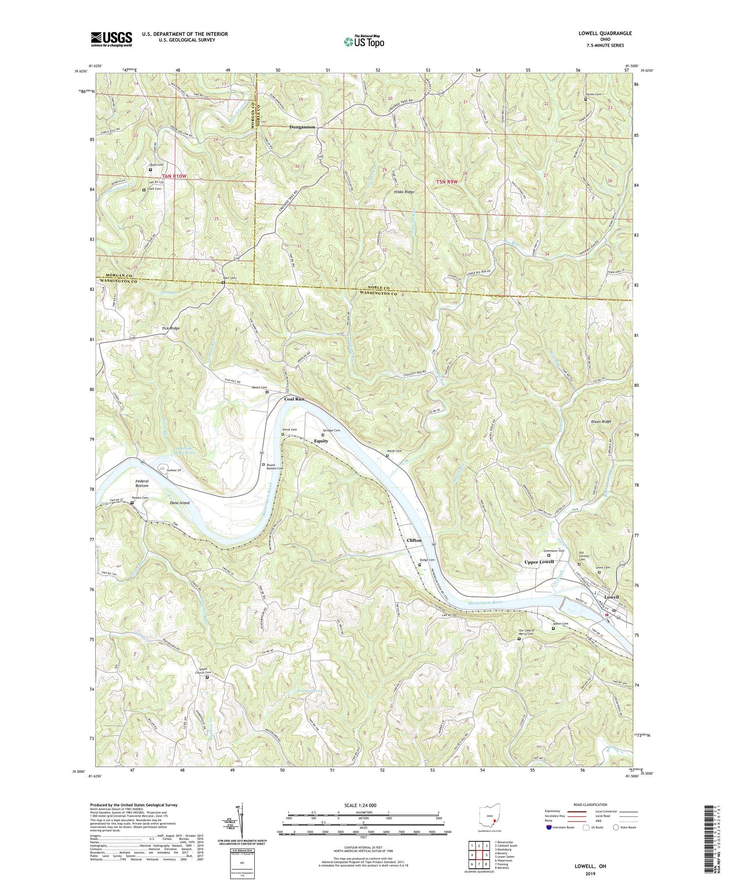
2023 topographic map quadrangle Lowell in the state of Ohio. Scale: 1:24000. Based on the newly updated USGS 7.5' US Topo map series, this map is in the following counties: Washington, Noble, Morgan. The map contains contour data, water features, and other items you are used to seeing on USGS maps, but also has updated roads and other features. This is the next generation of topographic maps. Printed on high-quality waterproof paper with UV fade-resistant inks.
Quads adjacent to this one:
West: Beverly
Northwest: Reinersville
North: Caldwell South
Northeast: Macksburg
East: Lower Salem
Southeast: Marietta
South: Fleming
Southwest: Watertown
This map covers the same area as the classic USGS quad with code o39081e5.
Contains the following named places: Bear Run, Big Run, Big Run School, Boyd Cemetery, Cat Creek, Checkpoint Charlie Airport, Clark Cemetery, Clifton, Coal Run, Congress Run, Culver Run, Cushing Run, Dana Island, Devol Cemetery, Dodge Cemetery, Dungannon, East Salem School, Equity, Fair Play School, Federal Bottom, German Cemetery, Glendale School, Greenlawn Cemetery, Greenwood School, Haines Cemetery, Haines Church, Harr Cemetery, Hibbs Ridge, Hog Hollow School, Lakeside Golf Course, Lakeside Motel Pond, Lakeside Motel Pond Dam, Lakeside Resort Colony Airport, Lewis Cemetery, Little Cold Run, Lowell, Lowell - Adams Volunteer Fire Rescue Department, Lowell Elementary School, Lowell Post Office, Lowell Station, Lowell Trailer Park, Marsh Cemetery, Mason Cemetery, Mason Run, Muskingum River Lock and Dam Number, Muskingum River Lock and Dam Number Three, Newtonville School, Our Lady of Mercy Cemetery, Our Lady of Mercy Church, Powers Cemetery, Reasoners Run, Right Branch Cat Creek, Round Bottom Cemetery, Round Bottom Church, Salem Church Cemetery, Sprague Cemetery, Stong Creek, Stony Creek, Strahler Pond, Strahler Pond Dam, Straight Run, Straight Run School, Sugar Run, Tick Ridge, Townhouse School, Township of Adams, Township of Jackson, Upper Lowell, Village of Lowell, Wall Street School, Williamson Church, ZIP Code: 45721


