MyTopo
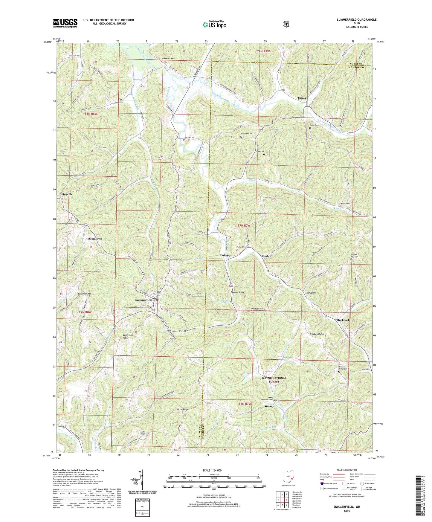
Summerfield Ohio US Topo Map
Couldn't load pickup availability
Also explore the Summerfield Forest Service Topo of this same quad for updated USFS data
2023 topographic map quadrangle Summerfield in the state of Ohio. Scale: 1:24000. Based on the newly updated USGS 7.5' US Topo map series, this map is in the following counties: Noble, Monroe. The map contains contour data, water features, and other items you are used to seeing on USGS maps, but also has updated roads and other features. This is the next generation of topographic maps. Printed on high-quality waterproof paper with UV fade-resistant inks.
Quads adjacent to this one:
West: Sarahsville
Northwest: Senecaville
North: Quaker City
Northeast: Barnesville
East: Lewisville
Southeast: Graysville
South: Stafford
Southwest: Macksburg
This map covers the same area as the classic USGS quad with code o39081g3.
Contains the following named places: Aaron Cemetery, Barnes Ridge, Bates Hill Church, Berne Compressor Station, Bethesda Cemetery, Bishop Run, Bracken Church, Bracken Ridge, Bracken Ridge Cemetery, Brister, Brister Cemetery, Brister Post Office, Burkhart, Burkhart Post Office, Calais, Calais Cemetery, Calais Post Office, Chapel Hill Cemetery, Christman Quarry, Clagg School, Curtis Church, Curtis Ridge, Curtis Ridge Cemetery, Danford Cemetery, Danford School, Days School, Death Run, DeVoa Run, Dimmerling Dairy Farm, Doherty, Doherty Post Office, Ethel, Fendley School, Glady Cemetery, Glady Church, Glady School, Haga School, Hamilton School, Hannash Cemetery, Herlan, Lexington Ridge, Markle School, Mud Run, Paynes Fork, Ranker Knob, Robinson Run, Saint Joseph Catholic Church, Seneca Valley Church, Skin Creek, South Fork, Steamtown, Summerfield, Summerfield Post Office, Summerfield Volunteer Fire Department, Swazey, Swazey Methodist Cemetery, Swazey Post Office, Township of Marion, Township of Seneca, Trots School, Union Chapel, Valley Store, Vernon School, Village of Summerfield, Whigville, Whigville Post Office, Whiteoak School, Wise Cemetery, ZIP Code: 43788


