MyTopo
Barnesville Ohio US Topo Map
Couldn't load pickup availability
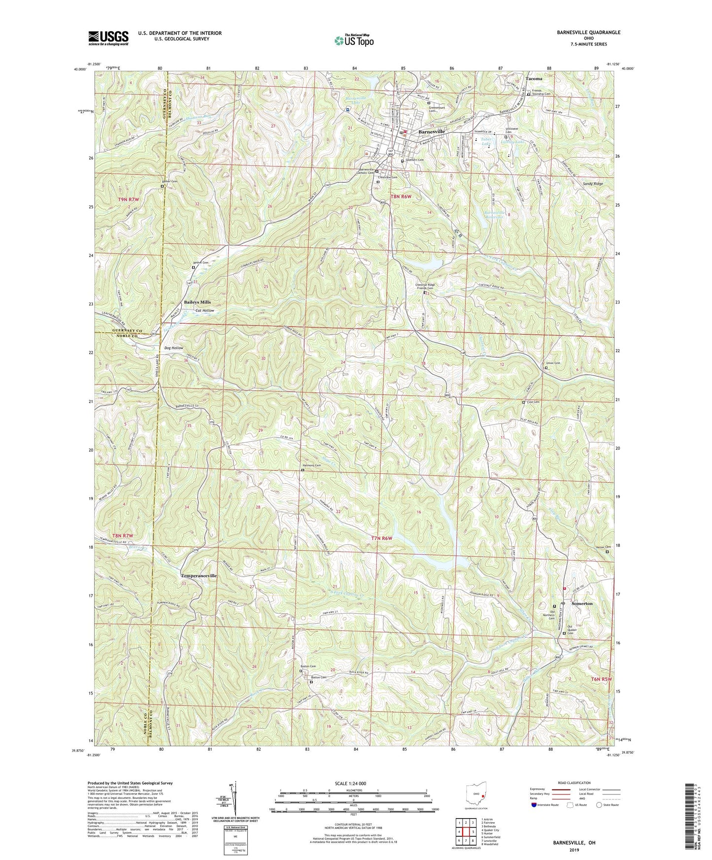
2023 topographic map quadrangle Barnesville in the state of Ohio. Scale: 1:24000. Based on the newly updated USGS 7.5' US Topo map series, this map is in the following counties: Belmont, Noble, Guernsey. The map contains contour data, water features, and other items you are used to seeing on USGS maps, but also has updated roads and other features. This is the next generation of topographic maps. Printed on high-quality waterproof paper with UV fade-resistant inks.
Quads adjacent to this one:
West: Quaker City
Northwest: Antrim
North: Fairview
Northeast: Bethesda
East: Hunter
Southeast: Woodsfield
South: Lewisville
Southwest: Summerfield
This map covers the same area as the classic USGS quad with code o39081h2.
Contains the following named places: Albert S George Youth Center, Assumption Catholic Church, Baileys Mills, Baileys Mills Post Office, Barker Cemetery, Barnesville, Barnesville Catholic Cemetery, Barnesville Church of the Nazarene, Barnesville Elementary School, Barnesville Emergency Medical Services Station 11, Barnesville Health Care Center, Barnesville High School, Barnesville Historic District, Barnesville Hospital, Barnesville Lake, Barnesville Lake Dam, Barnesville Medical Center, Barnesville Memorial Park, Barnesville Middle School, Barnesville Police Department, Barnesville Post Office, Barnesville Reservoir, Barnesville Reservoir Number One Dam, Barnesville Reservoir Number Three, Barnesville Reservoir Number Three Dam, Barnesville Reservoir Number Two, Barnesville Reservoir Number Two Dam, Barnesville Volunteer Fire Department Station 12, Belmont County Childrens Home, Belmont County Museum, Bethel African Methodist Episcopal Church, Bethel Cemetery, Bethel Church, Boston, Boston Cemetery, Cat Hollow, Chestnut Creek, Chestnut Ridge Friends Cemetery, Chestnut Ridge Meetinghouse, Church of Christ, Cold Cemetery, Cold Methodist Episcopal Church, Crestview Cemetery, Dog Hollow, Doudna Orchards, First Christian Church, First Presbyterian Church, First United Methodist Church of Barnesville, Friends School, Friends Township Cemetery, Harmony Cemetery, Howell Airport, Hutton Memorial Library, Kingdom Hall of Jehovahs Witnesses, Leatherwood Drive-In, Livezey Lake, Livezey Lake Dam, Main Street United Methodist Church, Millers Run, Northern Cemetery, Old Northern Cemetery, Old Quaker Cemetery, Olney School, Rockwell Orchards, Sandy Ridge, School of the Assumption, Second Church of Christ, Slope Creek, Somerton, Somerton Elementary School, Somerton Fire Department Station 37, Somerton Post Office, Southern Cemetery, Stillwater Cemetery, Stillwater Meeting House, Taber Lake, Tacoma, Temperanceville, Temperanceville Post Office, Township of Somerset, Township of Warren, Union Cemetery, Varner Cemetery, Village of Barnesville, WBNV-FM (Barnesville), ZIP Code: 43713


