MyTopo
Ashland Oklahoma US Topo Map
Couldn't load pickup availability
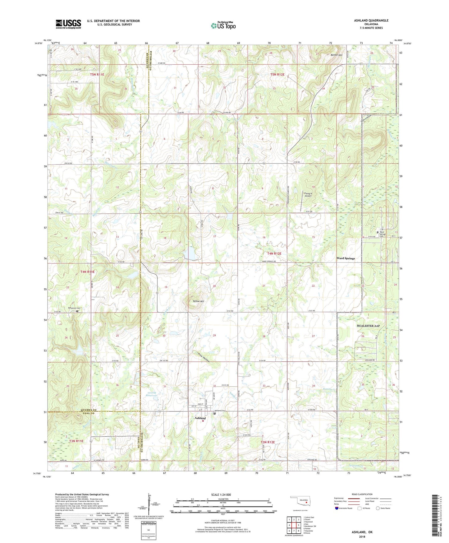
2018 topographic map quadrangle Ashland in the state of Oklahoma. Scale: 1:24000. Based on the newly updated USGS 7.5' US Topo map series, this map is in the following counties: Pittsburg, Hughes, Coal. The map contains contour data, water features, and other items you are used to seeing on USGS maps, but also has updated roads and other features. This is the next generation of topographic maps. Printed on high-quality waterproof paper with UV fade-resistant inks.
Quads adjacent to this one:
West: Non
Northwest: Calvin East
North: Stuart
Northeast: Haywood
East: McAlester SW
Southeast: Kiowa
South: Wardville
Southwest: Parker
Contains the following named places: Ashland, Ashland Cemetery, Ashland Volunteer Fire Department, Bethel Hill, Bohannon Cemetery, Bohannon Church, Flying H Airport, Friendship Church, Hudlow Hollow, Oknoname 121008 Dam, Oknoname 121008 Reservoir, Pine Hollow, Town of Ashland, Ward Springs, Ward Springs Cemetery, Yellow Hill, ZIP Code: 74570