MyTopo
Non Oklahoma US Topo Map
Couldn't load pickup availability
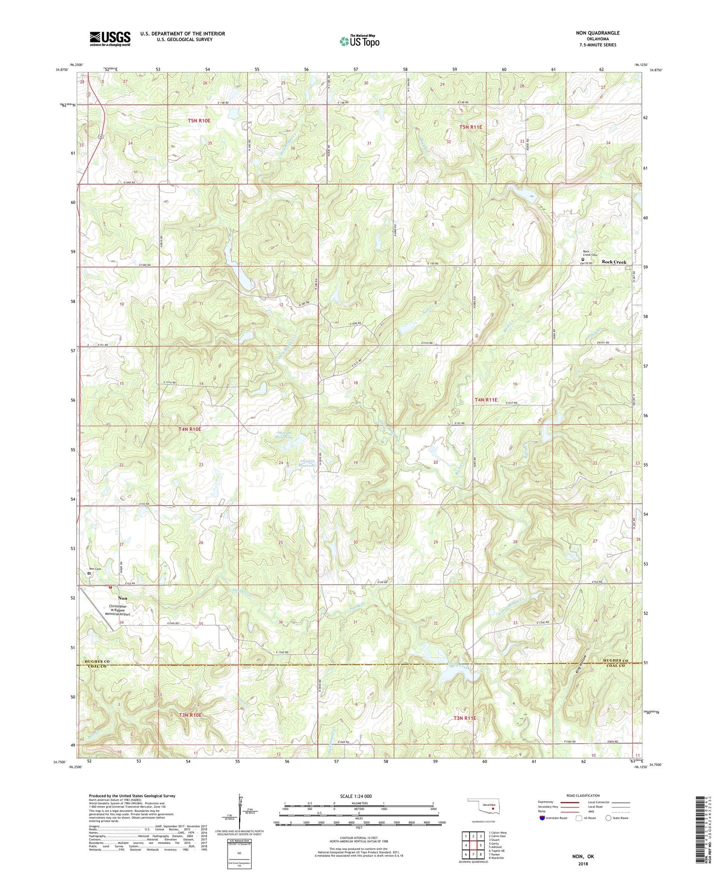
2022 topographic map quadrangle Non in the state of Oklahoma. Scale: 1:24000. Based on the newly updated USGS 7.5' US Topo map series, this map is in the following counties: Hughes, Coal. The map contains contour data, water features, and other items you are used to seeing on USGS maps, but also has updated roads and other features. This is the next generation of topographic maps. Printed on high-quality waterproof paper with UV fade-resistant inks.
Quads adjacent to this one:
West: Gerty
Northwest: Calvin West
North: Calvin East
Northeast: Stuart
East: Ashland
Southeast: Wardville
South: Parker
Southwest: Tupelo NE
This map covers the same area as the classic USGS quad with code o34096g2.
Contains the following named places: Christopher M Rippee Memorial Airport, County District 12, Elmo Tipton Dam, Elmo Tipton Reservoir, King Hollow, Non, Non Cemetery, Non Fire Department, Oknoname 063005 Dam, Oknoname 063005 Reservoir, Oknoname 063006 Dam, Oknoname 063006 Reservoir, Oknoname 063007 Dam, Oknoname 063007 Reservoir, Oknoname 121018 Dam, Oknoname 121018 Reservoir, Piney Creek, Rock Creek, Rock Creek Cemetery, Salt Creek, Sandy Creek, Upper Muddy Boggy Creek Site Number 25 Dam, Upper Muddy Boggy Site Number 24 Dam, Upper Muddy Boggy Site Number 24 Reservoir, Upper Muddy Boggy Site Number 25 Reservoir