MyTopo
Homestead Oklahoma US Topo Map
Couldn't load pickup availability
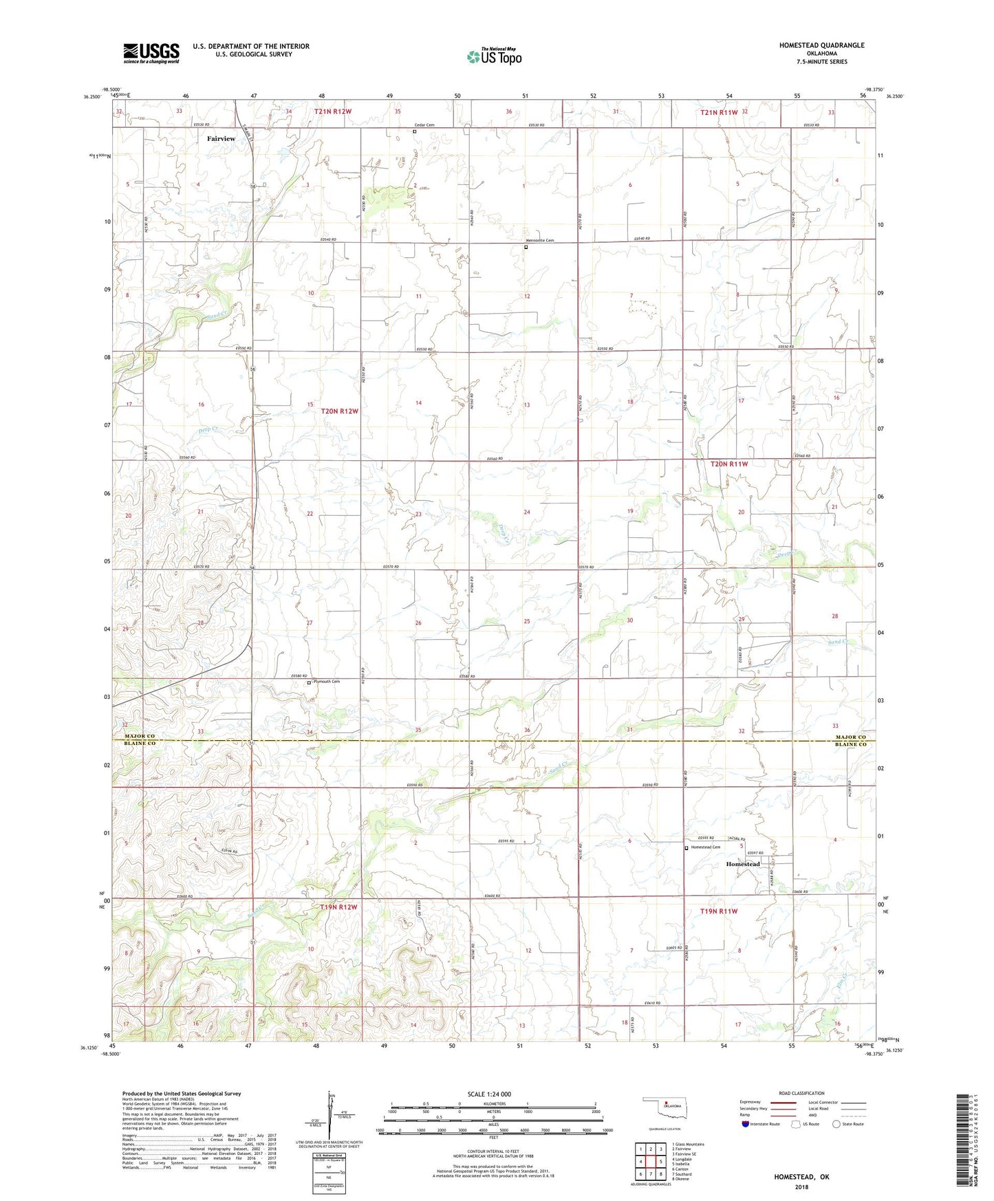
2022 topographic map quadrangle Homestead in the state of Oklahoma. Scale: 1:24000. Based on the newly updated USGS 7.5' US Topo map series, this map is in the following counties: Major, Blaine. The map contains contour data, water features, and other items you are used to seeing on USGS maps, but also has updated roads and other features. This is the next generation of topographic maps. Printed on high-quality waterproof paper with UV fade-resistant inks.
Quads adjacent to this one:
West: Longdale
Northwest: Glass Mountains
North: Fairview
Northeast: Fairview SE
East: Isabella
Southeast: Okeene
South: Southard
Southwest: Canton
This map covers the same area as the classic USGS quad with code o36098b4.
Contains the following named places: Cedar Cemetery, Homestead, Homestead Cemetery, Homestead Census Designated Place, Mennonite Cemetery, Mennonite Church, Plymouth Cemetery, Progressive School, Township of Fairview