MyTopo
Lone Wolf Oklahoma US Topo Map
Couldn't load pickup availability
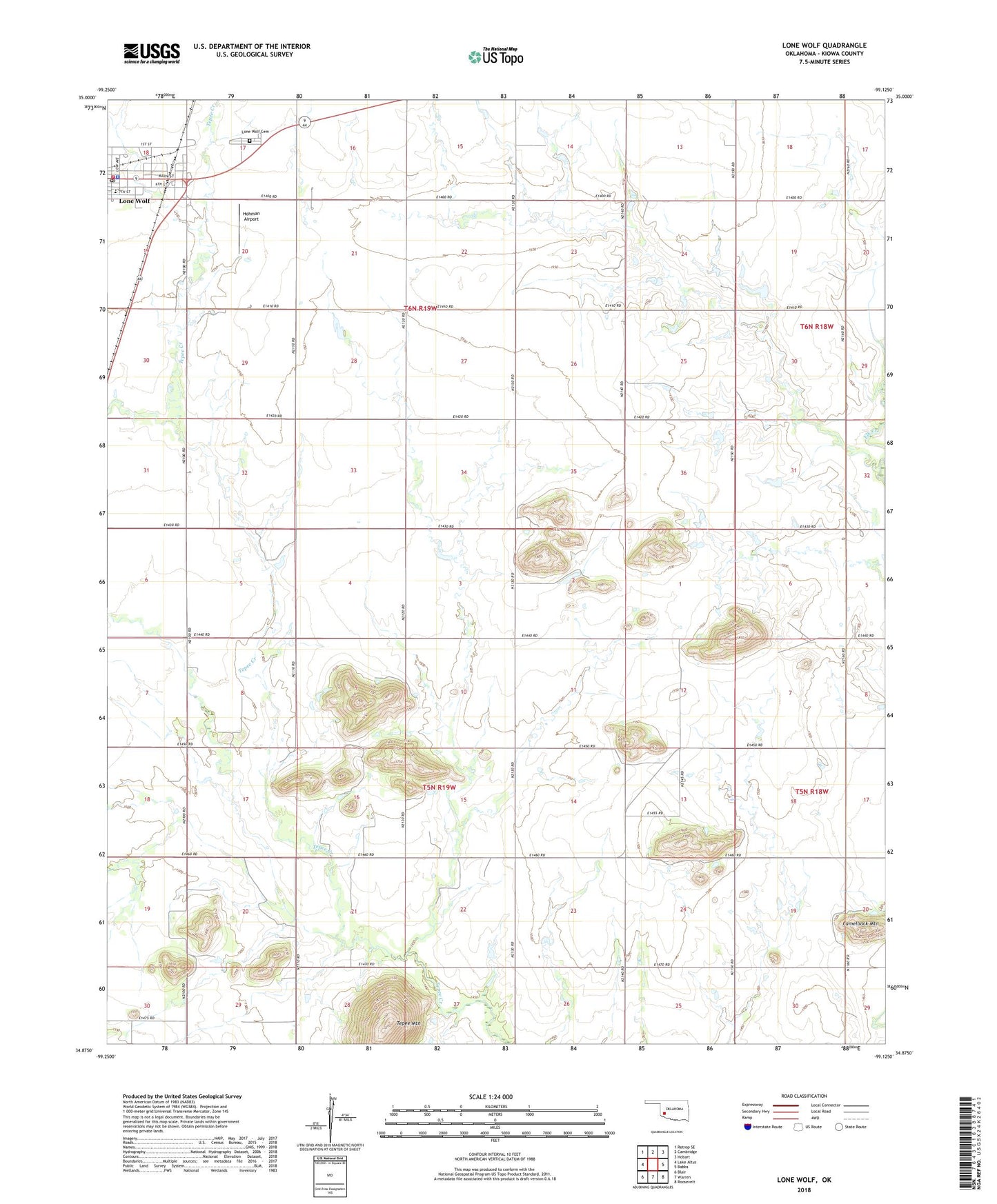
2022 topographic map quadrangle Lone Wolf in the state of Oklahoma. Scale: 1:24000. Based on the newly updated USGS 7.5' US Topo map series, this map is in the following counties: Kiowa. The map contains contour data, water features, and other items you are used to seeing on USGS maps, but also has updated roads and other features. This is the next generation of topographic maps. Printed on high-quality waterproof paper with UV fade-resistant inks.
Quads adjacent to this one:
West: Lake Altus
Northwest: Retrop SE
North: Cambridge
Northeast: Hobart
East: Babbs
Southeast: Roosevelt
South: Warren
Southwest: Blair
This map covers the same area as the classic USGS quad with code o34099h2.
Contains the following named places: Barton Store, Camelback Mountain, Hohman Airport, Lone Wolf, Lone Wolf Cemetery, Lone Wolf Community Ambulance, Lone Wolf Division, Lone Wolf Elementary School, Lone Wolf Junior - Senior High School, Lone Wolf Police Department, Lone Wolf Post Office, Lone Wolf Volunteer Fire Department, Mount Tepee Church, Tepee Mountain, Town of Lone Wolf, Township of Dill