MyTopo
Blair Oklahoma US Topo Map
Couldn't load pickup availability
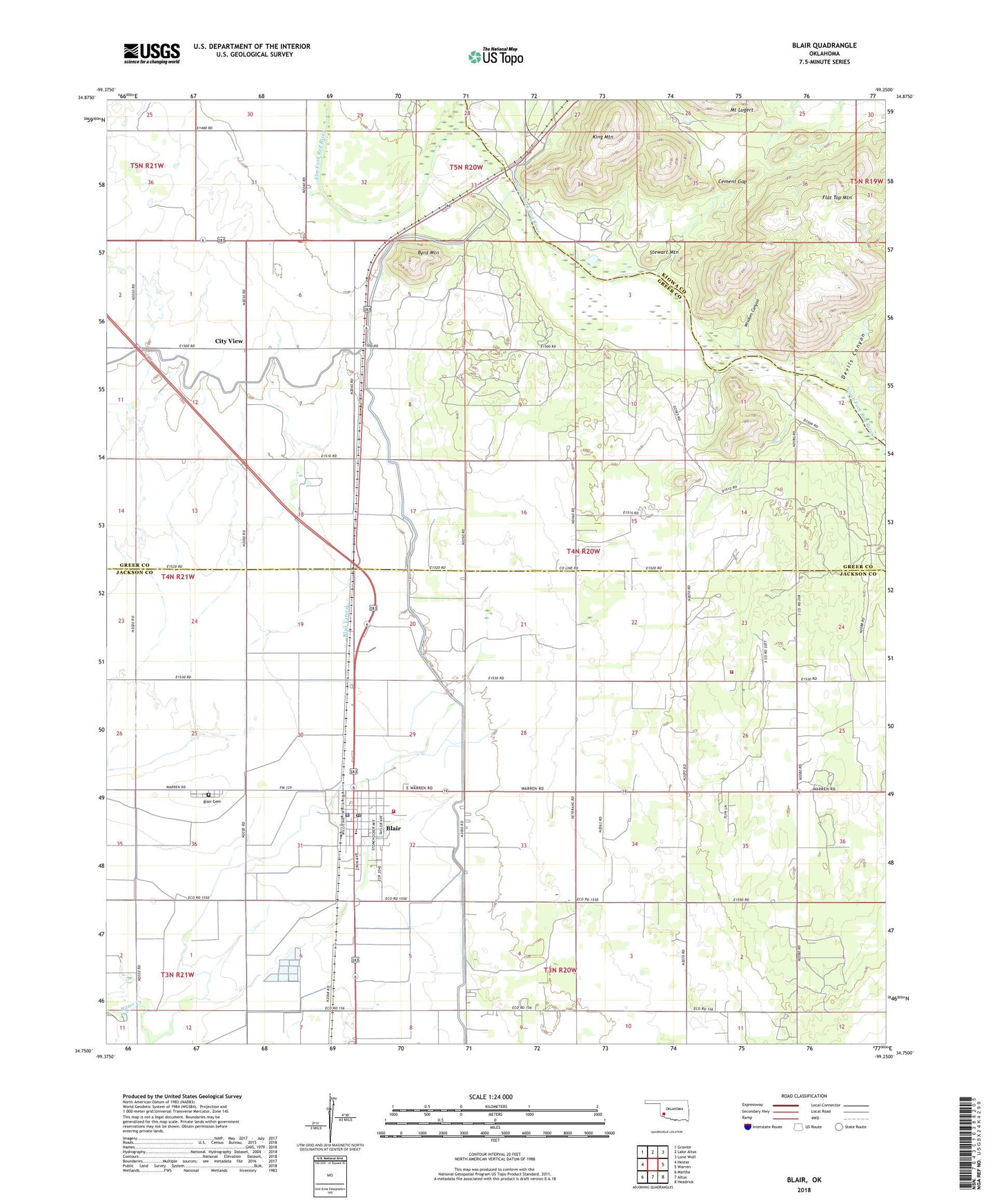
2022 topographic map quadrangle Blair in the state of Oklahoma. Scale: 1:24000. Based on the newly updated USGS 7.5' US Topo map series, this map is in the following counties: Jackson, Greer, Kiowa. The map contains contour data, water features, and other items you are used to seeing on USGS maps, but also has updated roads and other features. This is the next generation of topographic maps. Printed on high-quality waterproof paper with UV fade-resistant inks.
Quads adjacent to this one:
West: Hester
Northwest: Granite
North: Lake Altus
Northeast: Lone Wolf
East: Warren
Southeast: Headrick
South: Altus
Southwest: Martha
This map covers the same area as the classic USGS quad with code o34099g3.
Contains the following named places: Blair, Blair Cemetery, Blair Elementary School, Blair High School, Blair Lateral, Blair Police Department, Blair Post Office, Blair Volunteer Fire Department, Byrd Mountain, Cement Gap, City View, Devils Canyon, Elm Fork Red River, King Mountain, KQTZ-FM (Hobart), Stewart Mountain, Town of Blair, Township of Quartz, Warren Fire Department, Wisdom Canyon, ZIP Code: 73526