MyTopo
Loving Oklahoma US Topo Map
Couldn't load pickup availability
Also explore the Loving Forest Service Topo of this same quad for updated USFS data
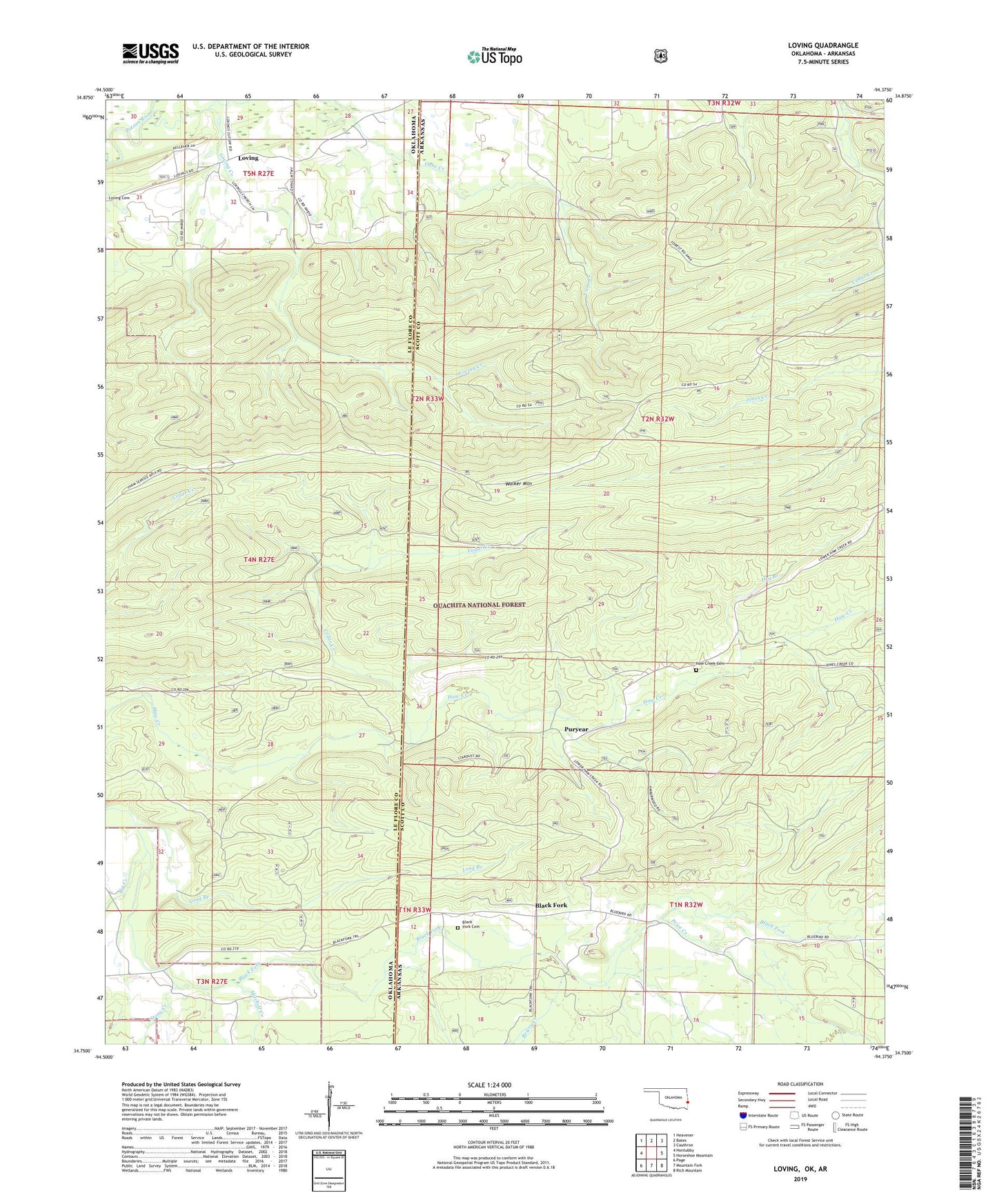
2022 topographic map quadrangle Loving in the states of Oklahoma, Arkansas. Scale: 1:24000. Based on the newly updated USGS 7.5' US Topo map series, this map is in the following counties: Le Flore, Scott. The map contains contour data, water features, and other items you are used to seeing on USGS maps, but also has updated roads and other features. This is the next generation of topographic maps. Printed on high-quality waterproof paper with UV fade-resistant inks.
Quads adjacent to this one:
West: Hontubby
Northwest: Heavener
North: Bates
Northeast: Cauthron
East: Horseshoe Mountain
Southeast: Rich Mountain
South: Mountain Fork
Southwest: Page
This map covers the same area as the classic USGS quad with code o34094g4.
Contains the following named places: Big Creek, Black Fork, Black Fork Cemetery, Briery Creek, Cedar Creek, Dry Branch, Haw Creek Cemetery, Haws Creek Church, Long Branch, Loving, Loving Creek, Mitchell Creek, Price Creek, Puryear, Stony Creek, Township of Black Fork