MyTopo
Randlett Oklahoma US Topo Map
Couldn't load pickup availability
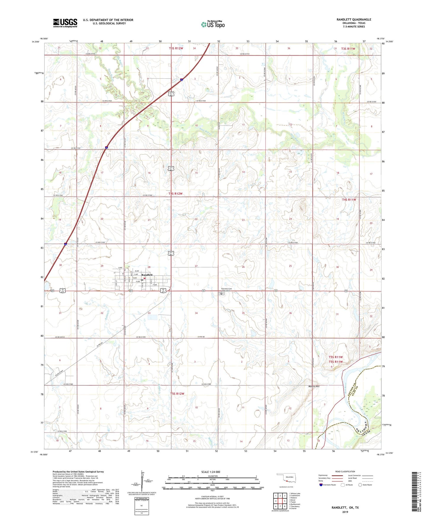
2022 topographic map quadrangle Randlett in the state of Oklahoma. Scale: 1:24000. Based on the newly updated USGS 7.5' US Topo map series, this map is in the following counties: Cotton, Clay. The map contains contour data, water features, and other items you are used to seeing on USGS maps, but also has updated roads and other features. This is the next generation of topographic maps. Printed on high-quality waterproof paper with UV fade-resistant inks.
Quads adjacent to this one:
West: Devol
Northwest: Whites Lake
North: Cookietown
Northeast: Walters
East: Taylor
Southeast: Charlie
South: Thornberry
Southwest: Burkburnett
Contains the following named places: Big Pasture Elementary School, Big Pasture High School, Deep Red Creek, Dry Red Creek, Fairview Cemetery of Randlett, Martin Hill, Oknoname 033009 Dam, Oknoname 033009 Reservoir, Rabbit Creek, Randlett, Randlett Post Office, Randlett Volunteer Fire Department, Southwest Cotton Division, Southwest Randlett Oil Field, Town of Randlett, Township of Jefferson, West Rabbit Creek Oil Field, ZIP Code: 73562