MyTopo
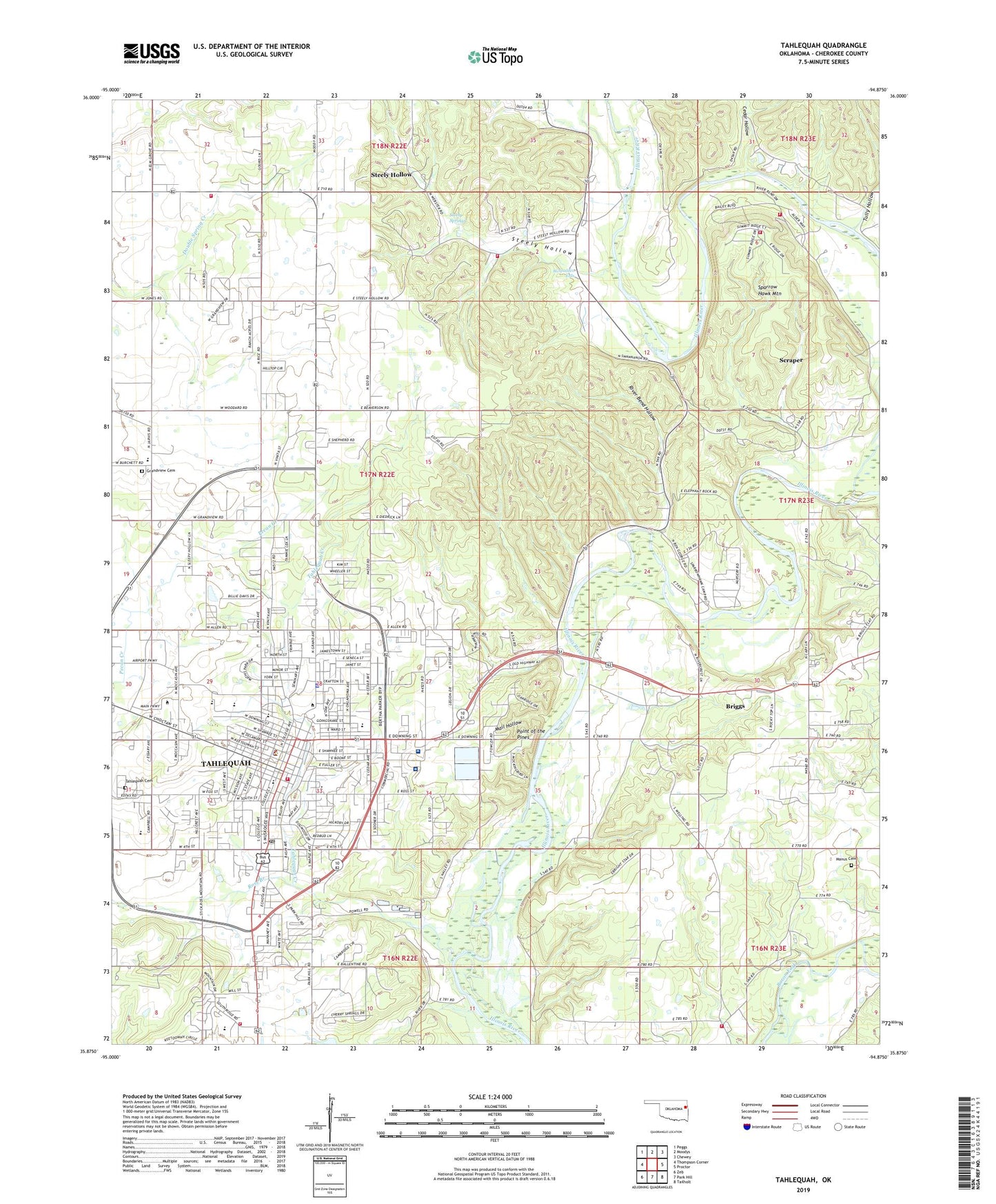
Tahlequah Oklahoma US Topo Map
Couldn't load pickup availability
2022 topographic map quadrangle Tahlequah in the state of Oklahoma. Scale: 1:24000. Based on the newly updated USGS 7.5' US Topo map series, this map is in the following counties: Cherokee. The map contains contour data, water features, and other items you are used to seeing on USGS maps, but also has updated roads and other features. This is the next generation of topographic maps. Printed on high-quality waterproof paper with UV fade-resistant inks.
Quads adjacent to this one:
West: Thompson Corner
Northwest: Peggs
North: Moodys
Northeast: Chewey
East: Proctor
Southeast: Tailholt
South: Park Hill
Southwest: Zeb
This map covers the same area as the classic USGS quad with code o35094h8.
Contains the following named places: Boudinot Church, Box Shopping Center, Briggs Census Designated Place, Calvary Indian Baptist Church, Cedar Hollow, Cedar Tree Cemetery, Central Independent School, Cherokee County, Cherokee County Sheriff's Office, Cherokee Elementary School, Cherokee Hills Shopping Center, Church of Christ South College, Church of Christ Student Center, City of Tahlequah, Cornerstone Fellowship, Echota Public Use Area, First Baptist Church, First Lutheran Church, First Presbyterian Church, First United Methodist Church, Gideon Volunteer Fire Department Station 2, Go Ye Mission Campground, Grace Baptist Church, Grand View School, Grandview Cemetery, Grandview Census Designated Place, Grandview School, Greenwood Elementary School, Heart-Of-Hills Camp, Illinois River Volunteer Fire Department, Indian Campground, Indian Capital Technology Center - Tahlequah, KEOK-FM (Tahlequah), Kingdom Hall Jehovahs Witnesses, KTLQ-AM (Tahlequah), Light of Christ Community Church, Lutherhoma Camp, Mail Hollow, Manus Cemetery, Markoma Bible Academy, McSpadden Falls, No Head Hollow Public Use Area, Northeastern Christian Church, Northeastern State University, Northeastern State University Police Department, Old Cherokee Nation Capitol Building, Philadelphia Bible Academy, Point of the Pines, River Bend Hollow, Ross Branch, Saint Basils Episcopal Church, Saint Brigid Catholic Church, Sequoyah Elementary School, Sequoyah Park, Shiloh Christian School, Southside Baptist Church, Sparrow Hawk Fire Department Station 1, Sparrow Hawk Mountain, Sparrow Hawk Village Fire Department Station 2, Sparrowhawk, Sparrowhawk Census Designated Place, Steely Hollow, Steely Hollow Census Designated Place, Steely Springs, Steely Springs Church, Tahlequah, Tahlequah Cemetery, Tahlequah Christian Outreach, Tahlequah City Hospital, Tahlequah Creek, Tahlequah Fire Department Station 1, Tahlequah High School, Tahlequah Middle School, Tahlequah Post Office, The Church of Jesus Christ of Latter Day Saints, Township of Grandview, Tully Hollow, W W Hastings Indian Hospital, Wal-Mart Shopping Center, Welling, Welling Tri - Community Fire Department Station 1, Wesley Foundation United Methodist Church, World of Life Fellowship Church, ZIP Code: 74464


