MyTopo
Union City Oklahoma US Topo Map
Couldn't load pickup availability
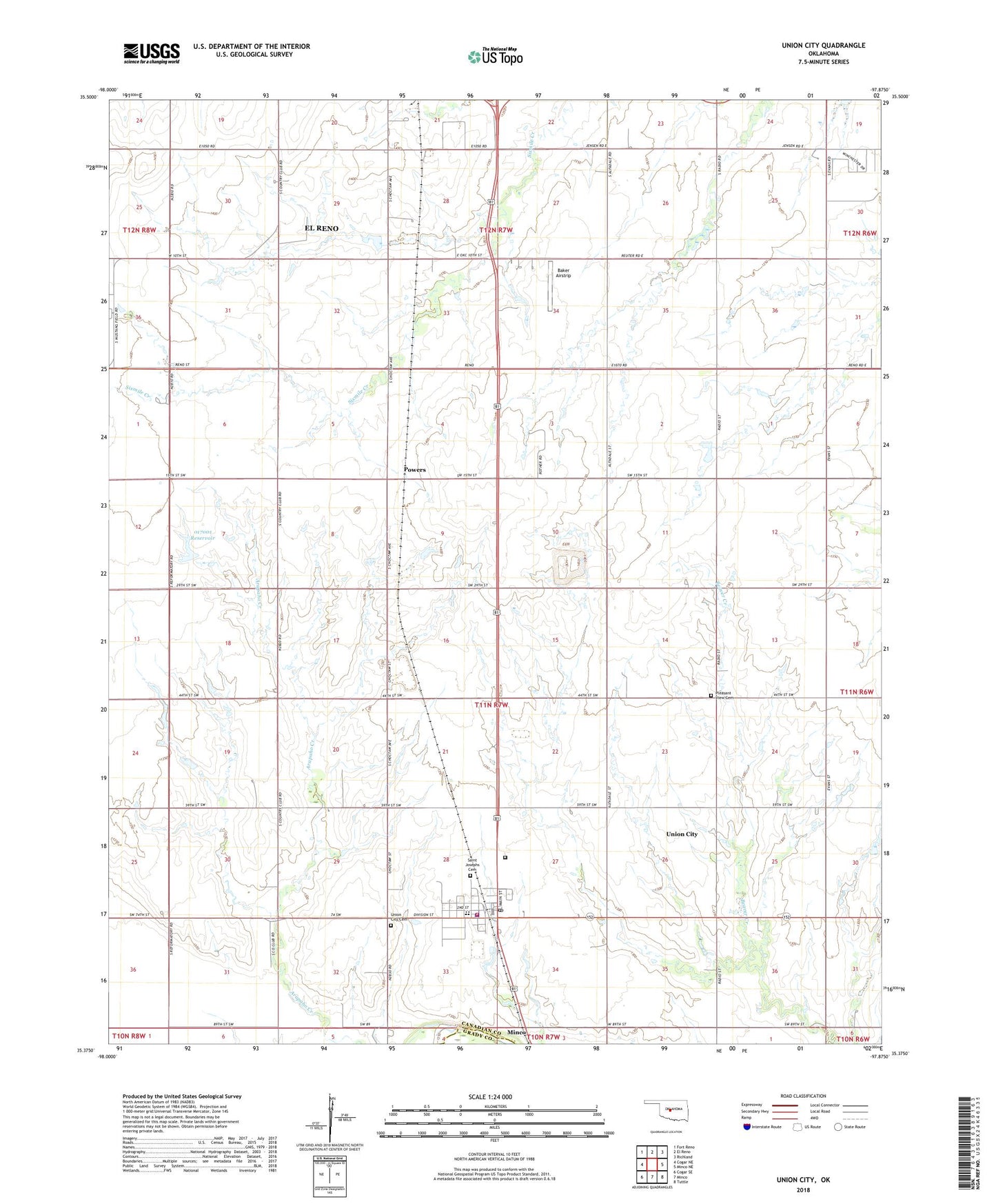
2022 topographic map quadrangle Union City in the state of Oklahoma. Scale: 1:24000. Based on the newly updated USGS 7.5' US Topo map series, this map is in the following counties: Canadian, Grady. The map contains contour data, water features, and other items you are used to seeing on USGS maps, but also has updated roads and other features. This is the next generation of topographic maps. Printed on high-quality waterproof paper with UV fade-resistant inks.
Quads adjacent to this one:
West: Cogar NE
Northwest: Fort Reno
North: El Reno
Northeast: Richland
East: Minco NE
Southeast: Tuttle
South: Minco
Southwest: Cogar SE
This map covers the same area as the classic USGS quad with code o35097d8.
Contains the following named places: Arapaho Creek, Baker Airstrip, Oknoname 017001 Dam, Oknoname 017001 Reservoir, Pleasant View Cemetery, Powers, Saint Josephs Cemetery, Town of Union City, Township of Union City, Union City, Union City Cemetery, Union City Elementary School, Union City Fire Department, Union City High School, Union City Police Department, Union City Post Office, ZIP Code: 73090