MyTopo
Warren Oklahoma US Topo Map
Couldn't load pickup availability
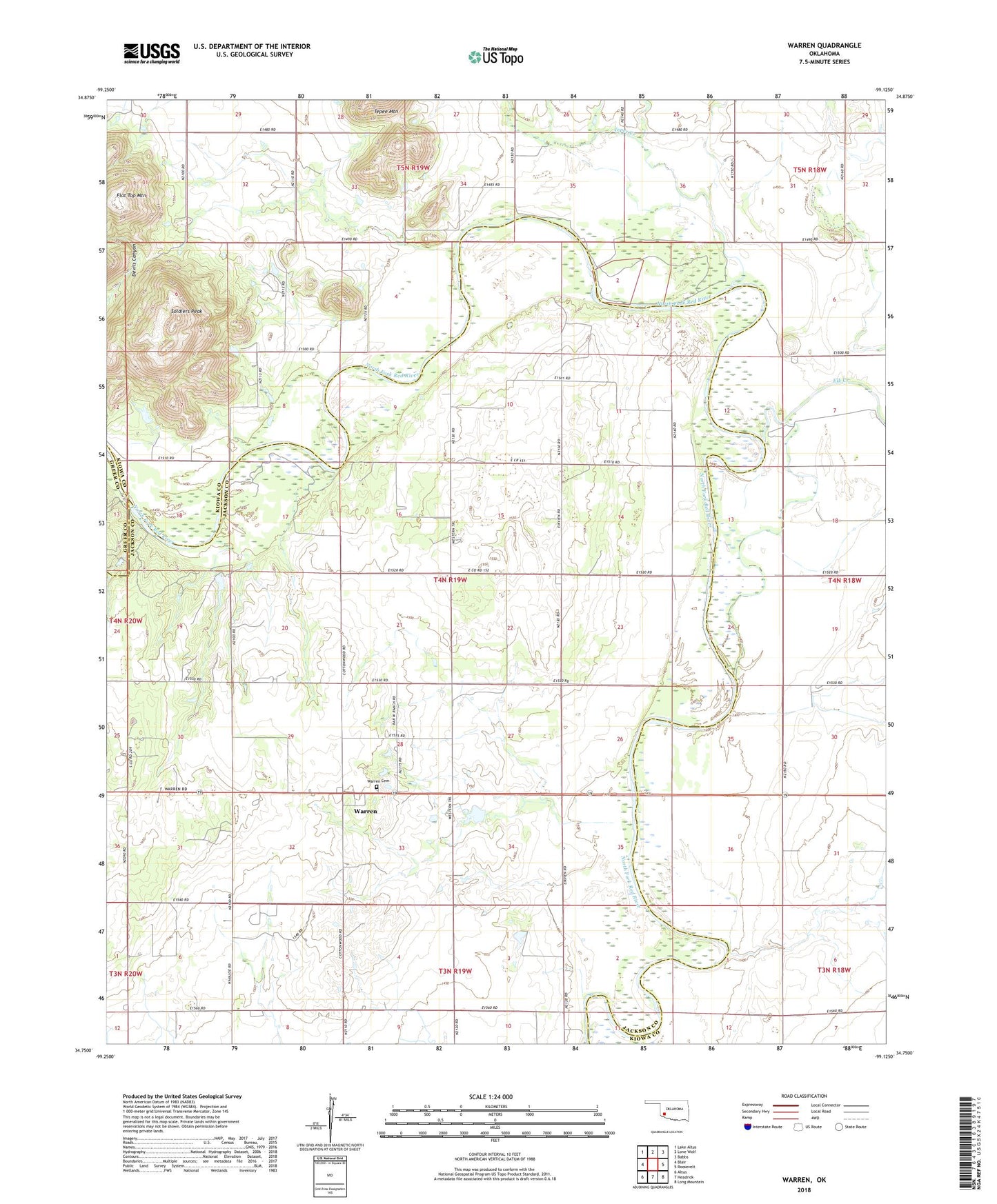
2018 topographic map quadrangle Warren in the state of Oklahoma. Scale: 1:24000. Based on the newly updated USGS 7.5' US Topo map series, this map is in the following counties: Jackson, Kiowa, Greer. The map contains contour data, water features, and other items you are used to seeing on USGS maps, but also has updated roads and other features. This is the next generation of topographic maps. Printed on high-quality waterproof paper with UV fade-resistant inks.
Quads adjacent to this one:
West: Blair
Northwest: Lake Altus
North: Lone Wolf
Northeast: Babbs
East: Roosevelt
Southeast: Long Mountain
South: Headrick
Southwest: Altus
Contains the following named places: Elk Creek, Flat Top Mountain, Oknoname 065001 Dam, Oknoname 065001 Reservoir, Oknoname 075017 Dam, Oknoname 075017 Reservoir, Soldiers Peak, Tepee Creek, Township of Navajo, Warren, Warren Cemetery