MyTopo
Bone Mountain Oregon US Topo Map
Couldn't load pickup availability
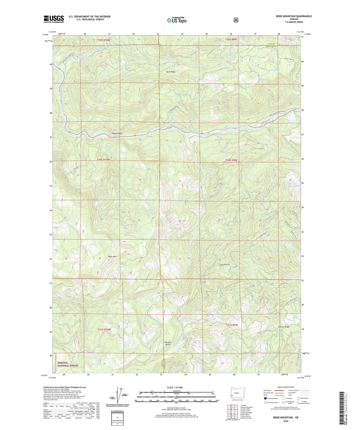
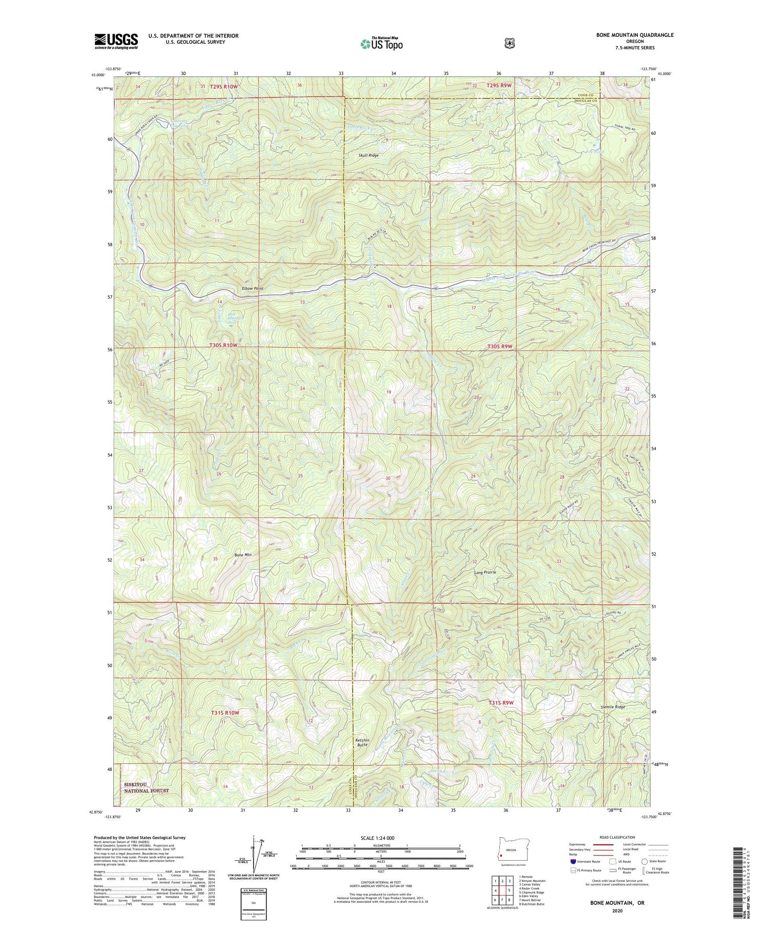
2020 topographic map quadrangle Bone Mountain in the state of Oregon. Scale: 1:24000. Based on the newly updated USGS 7.5' US Topo map series, this map is in the following counties: Coos, Douglas. The map contains contour data, water features, and other items you are used to seeing on USGS maps, but also has updated roads and other features. This is the next generation of topographic maps. Printed on high-quality waterproof paper with UV fade-resistant inks.
Quads adjacent to this one:
West: Rasler Creek
Northwest: Remote
North: Kenyon Mountain
Northeast: Camas Valley
East: Chipmunk Ridge
Southeast: Dutchman Butte
South: Mount Bolivar
Southwest: Eden Valley
Contains the following named places: Bear Creek, Bear Creek Recreation Site, Bone Mountain, Bone Mountain Pond, Cabin Creek, Cawrses Log Pond, Elbow Point, Fox Pond, Hidden Creek, Johnston Creek, Ketchin Butte, Kleiner Creek, Lake Creek, Little Rock Creek, Long Prairie, North Creek, Panther Creek, Sixmile Ridge, Skull Ridge, Slater Creek, Smith Creek, Upper Rock Creek