MyTopo
Mount Bolivar Oregon US Topo Map
Couldn't load pickup availability
Also explore the Mount Bolivar Forest Service Topo of this same quad for updated USFS data
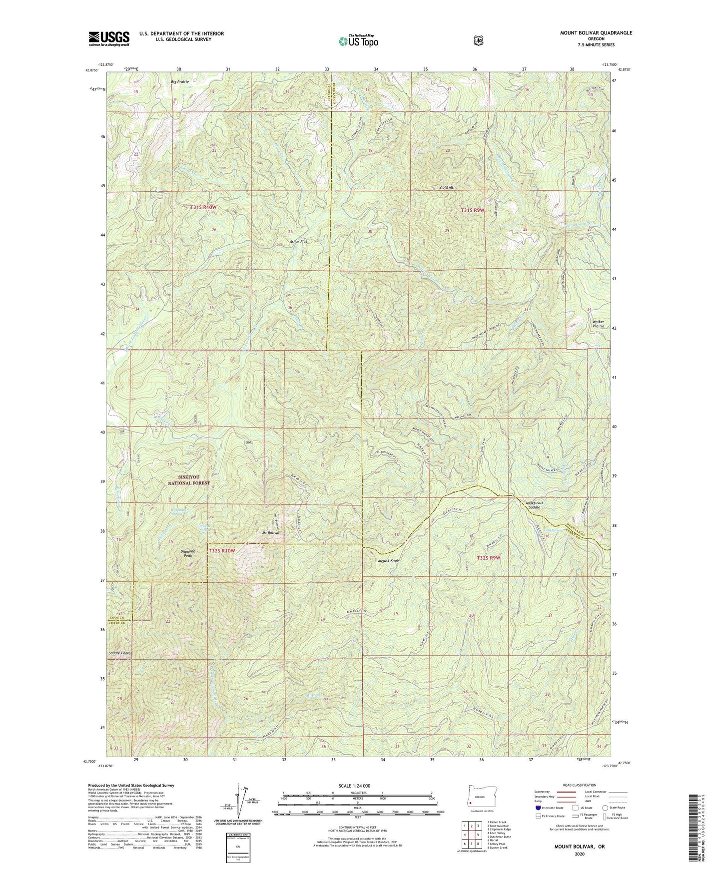
2024 topographic map quadrangle Mount Bolivar in the state of Oregon. Scale: 1:24000. Based on the newly updated USGS 7.5' US Topo map series, this map is in the following counties: Coos, Douglas, Curry. The map contains contour data, water features, and other items you are used to seeing on USGS maps, but also has updated roads and other features. This is the next generation of topographic maps. Printed on high-quality waterproof paper with UV fade-resistant inks.
Quads adjacent to this one:
West: Eden Valley
Northwest: Rasler Creek
North: Bone Mountain
Northeast: Chipmunk Ridge
East: Dutchman Butte
Southeast: Bunker Creek
South: Kelsey Peak
Southwest: Marial
This map covers the same area as the classic USGS quad with code o42123g7.
Contains the following named places: Anaktuvuk Saddle, Arrastra Fork Mule Creek, Ashur Flat, August Knob, Bear Creek, Big Prairie, Black Creek, Bolivar Creek, Bolivar Mine, Bolivar Spring, Cold Spring, Cold Spring Camp, Diamond Peak, East Fork of West Fork Cow Creek, Fuller Creek, Fuller Mine, Gold Mountain, Gold Mountain Creek, Grant Creek, Lipp Creek, Mount Bolivar, Mule Creek, Panther Creek, Porphyry Spring, Saddle Peaks, Slide Creek, Stanley Creek, Walker Creek, Wallace Creek, Wilson Creek, Wilson Head Quarry