MyTopo
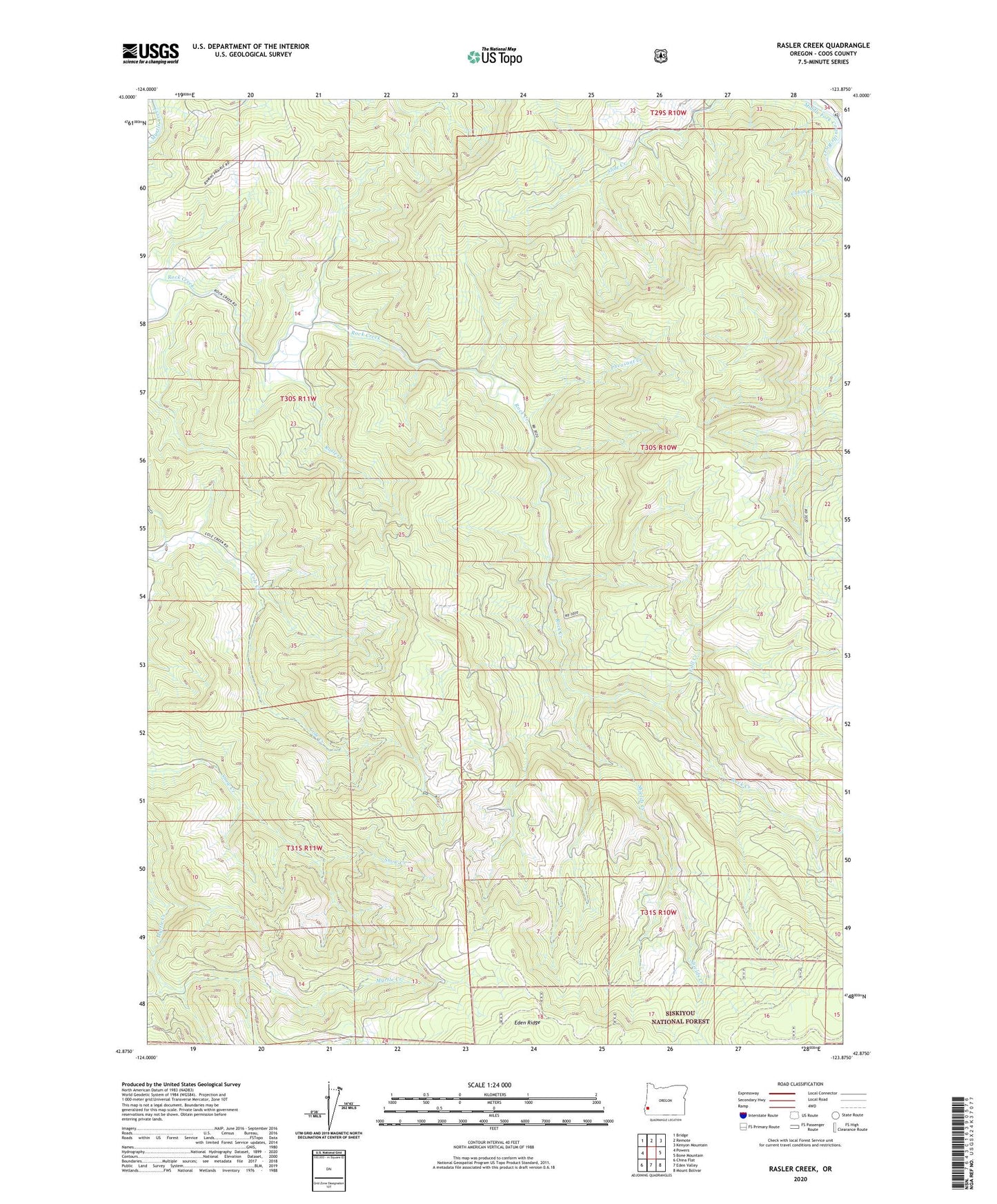
Rasler Creek Oregon US Topo Map
Couldn't load pickup availability
Also explore the Rasler Creek Forest Service Topo of this same quad for updated USFS data
2024 topographic map quadrangle Rasler Creek in the state of Oregon. Scale: 1:24000. Based on the newly updated USGS 7.5' US Topo map series, this map is in the following counties: Coos. The map contains contour data, water features, and other items you are used to seeing on USGS maps, but also has updated roads and other features. This is the next generation of topographic maps. Printed on high-quality waterproof paper with UV fade-resistant inks.
Quads adjacent to this one:
West: Powers
Northwest: Bridge
North: Remote
Northeast: Kenyon Mountain
East: Bone Mountain
Southeast: Mount Bolivar
South: Eden Valley
Southwest: China Flat
This map covers the same area as the classic USGS quad with code o42123h8.
Contains the following named places: Fall Creek, Jenkins Prairie, Pheasant Creek, Rasler Creek, Shields Creek