MyTopo
Brownsboro Oregon US Topo Map
Couldn't load pickup availability
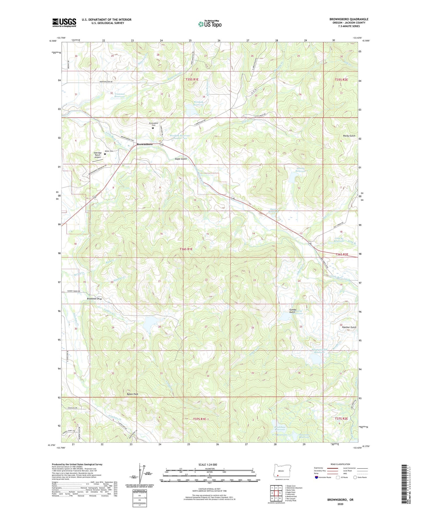
2023 topographic map quadrangle Brownsboro in the state of Oregon. Scale: 1:24000. Based on the newly updated USGS 7.5' US Topo map series, this map is in the following counties: Jackson. The map contains contour data, water features, and other items you are used to seeing on USGS maps, but also has updated roads and other features. This is the next generation of topographic maps. Printed on high-quality waterproof paper with UV fade-resistant inks.
Quads adjacent to this one:
West: Eagle Point
Northwest: Shady Cove
North: Obenchain Mountain
Northeast: Butte Falls
Southeast: Grizzly Peak
South: Rio Canyon
Southwest: Medford East
This map covers the same area as the classic USGS quad with code o42122d6.
Contains the following named places: Bitterlick Creek, Bradshaw Dam, Bradshaw Drop, Bradshaw Reservoir, Brownsboro, Brownsboro Cemetery, Brownsboro Post Office, Bybee Peak, Eagle Gulch, F-P Reservoir, Frog Pond Number One, Gumbo Gulch, Harrison Dam, Harrison Reservoir, Hawkins Creek, Jackson County, Kanutchan Creek, Lake Creek Dam, Lakecreek Post Office, Lick Creek, Little Butte Creek Siphon, Long Branch, Long Branch Reservoir, Medford Irrigation District Canal, Miller Cemetery, Oakridge Ranch Airport, Osborne Creek, Osborne Creek Dam, Osborne Reservoir, Owen Dam, Owens Reservoir, Panther Gulch, Randle Creek, Rock Creek, Rocky Gulch, Salt Creek, Schoolhouse Creek, Spring Creek, Stanley Dam, Stanley Reservoir, Trammel Reservoir, Whiskey Creek, Woodrat Knob Dam, Woodrat Knob Reservoir, Woolfolk Dam, Woolfolk Reservoir, Woolfolk Reservoir Number Two, Yankee Creek, Yankee Creek Dam, Yankee Creek Reservoir, Yankee Creek Siphon, ZIP Code: 97524


